
Photo and Video Chronology - Kīlauea - July 11, 2018
By Kīlauea
July 11, 2018
Kīlauea Volcano's summit activity produces minor ash
Media
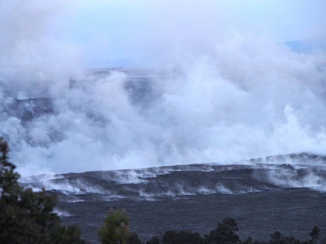
Sources/Usage: Public Domain. View Media Details
Kīlauea lower East Rift Zone lava flow
Media

Sources/Usage: Some content may have restrictions. View Media Details
Media

Sources/Usage: Public Domain. View Media Details
Media

Sources/Usage: Public Domain. View Media Details
Media

Sources/Usage: Public Domain. View Media Details