U.S. flag

An official website of the United States government

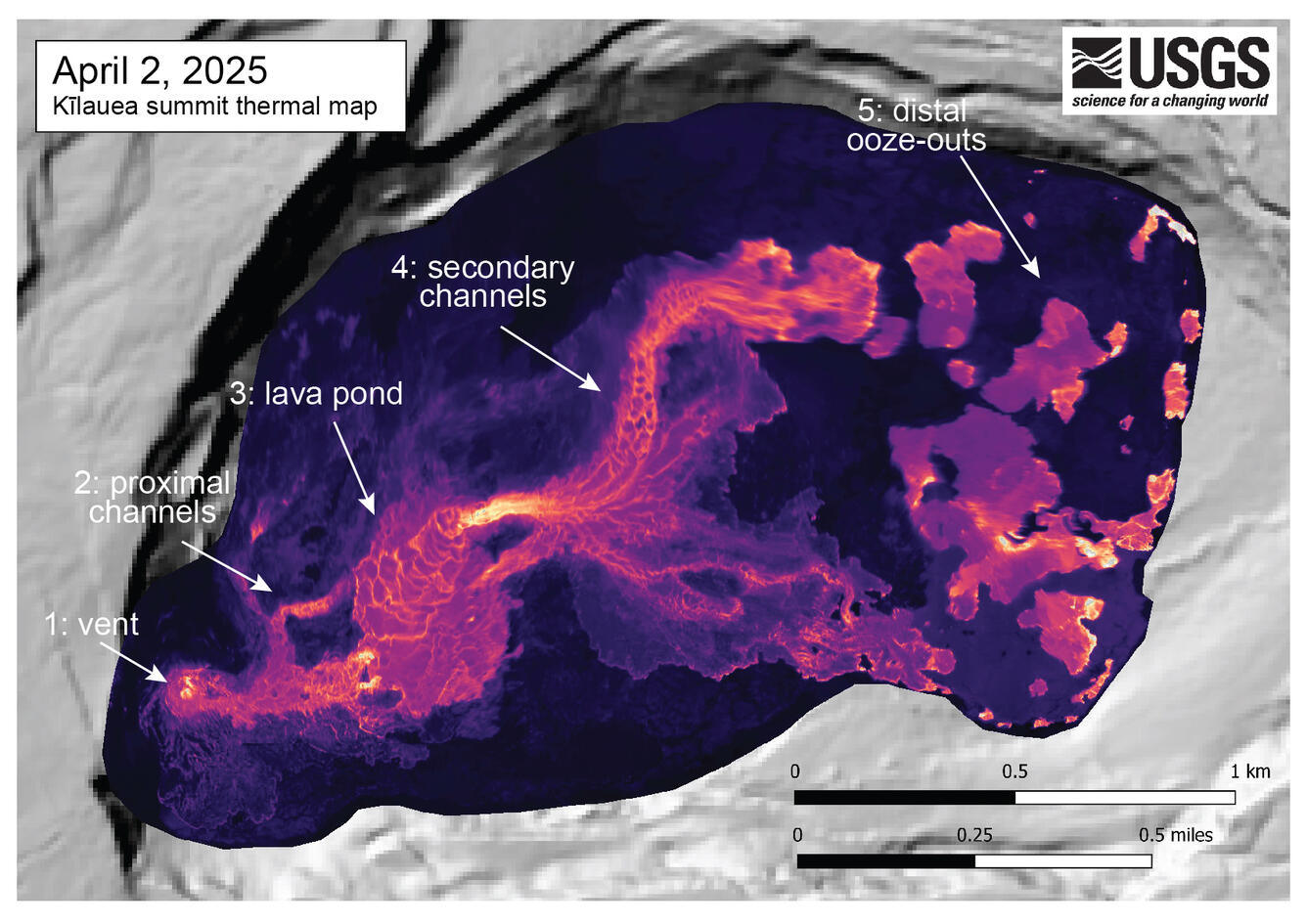
April 2, 2025 — Annotated thermal map of Kīlauea summit

April 2, 2025
Media
Color map of crater floor temperature
This close-up thermal map shows the crater floor at the summit of Kīlauea just an hour after the end of episode 16 lava fountaining on April 2. This map provides a good example of the different zones of lava flow activity on the crater floor that have been observed in many of the eruptive episodes. Lava fountaining at the vent normally feeds a short, channelized lava flow that often supplies lava to a perched pond in the western portion of the crater. Overflows and levee breaches from the pond then supply lava to secondary lava channels that carry lava towards the eastern portion of the crater floor. Interestingly, there are also "ooze-outs" of lava in the eastern portion of the crater floor that represent lava squeezed out from beneath the solidified crater floor, indicating a large volume of still-fluid lava beneath the solidified crust on the surface. 
Was this page helpful?