
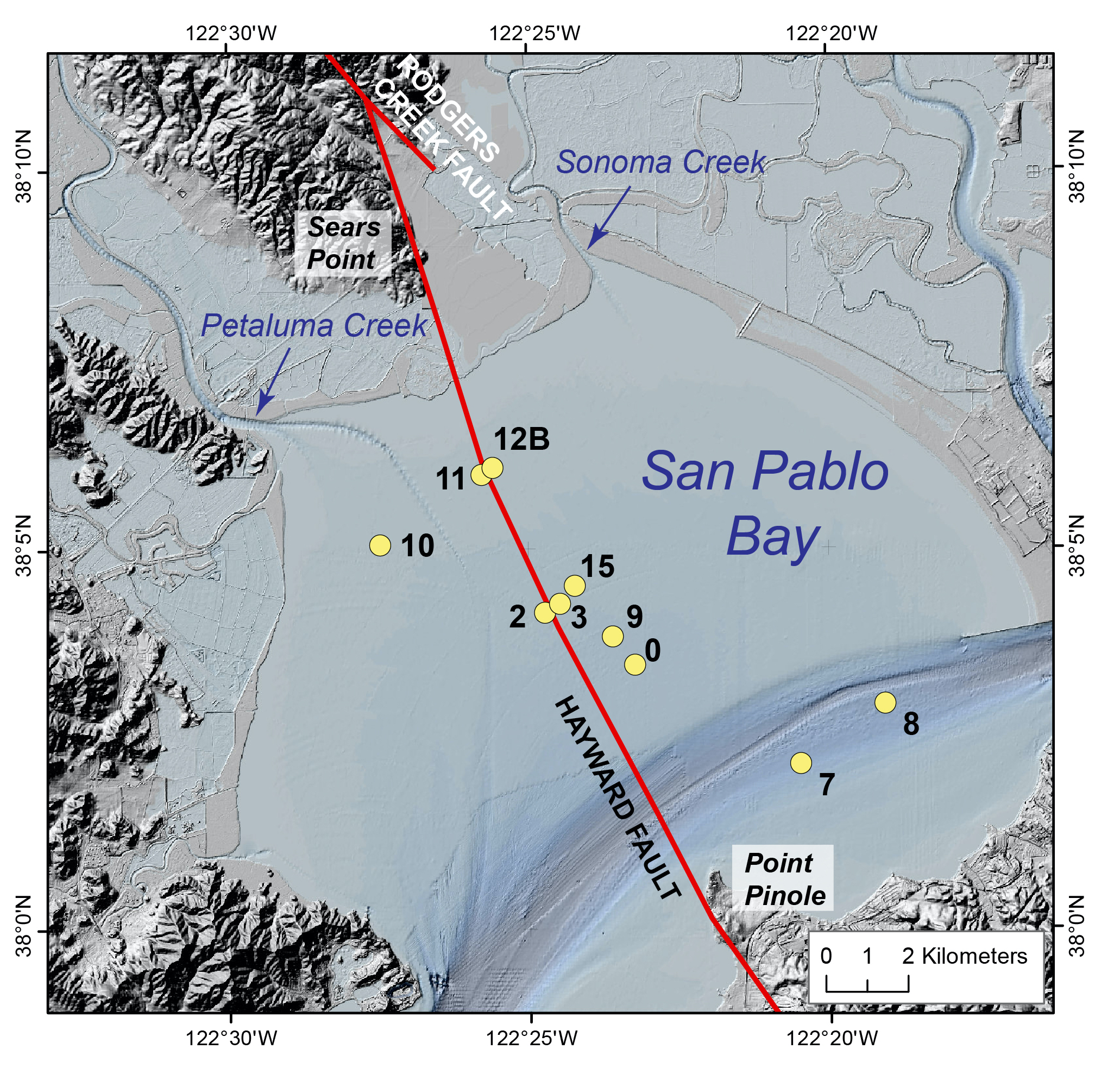
Core sample locations in San Pablo Bay

Detailed Description
Map showing locations of cores collected from San Pablo Bay, California, October 17-20, 2016 (yellow circles) and fault lines (red) located in and around the Bay.
Sources/Usage
Public Domain.
USGS data release
Geophysical properties, geochronologic, and geochemical data of sediment cores collected from San Pablo Bay, California, October 17-20, 2016