
AEM Survey over Kīlauea summit

Detailed Description
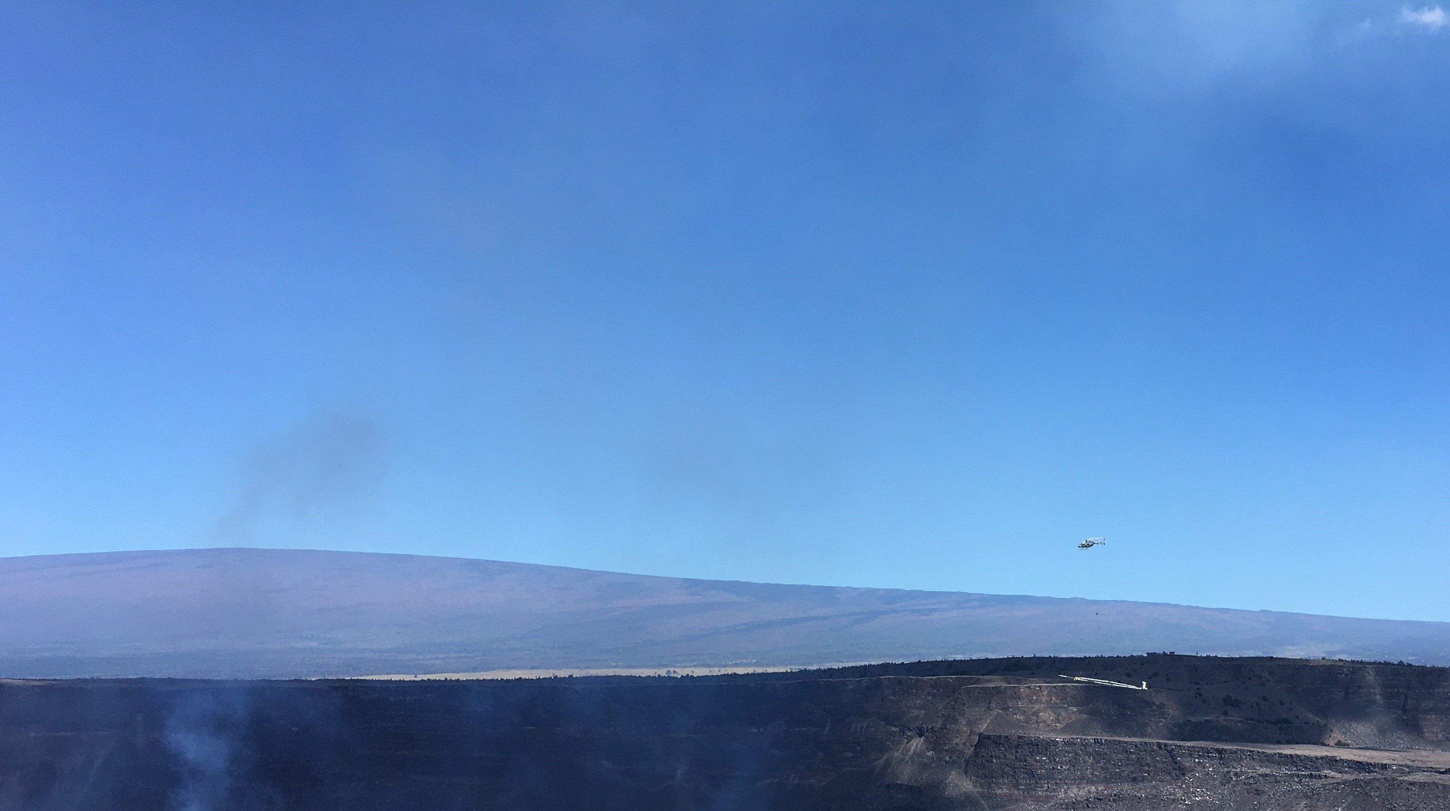
This morning, July 28, the USGS-Hawaiian Volcano Observatory flew the Airborne Electromagnetic and Magnetic (AEM) survey over Kaluapele—Kīlauea summit caldera—within Hawai‘i Volcanoes National Park. A helicopter flew about 120-175 ft above the ground in a grid-like pattern with a 40-ft horizontal loop suspended 35 ft below it. This photo, taken from the overlook near Keanakāko‘i crater, shows the helicopter conducting the survey, with the caldera walls and Mauna Loa in the background. USGS photo by J. Kauahikaua.
Sources/Usage
Public Domain.