
Aerial survey map for Michigan, Wisconsin and Minnesota
By Communications and Publishing
June 2026 (approx.)

Detailed Description
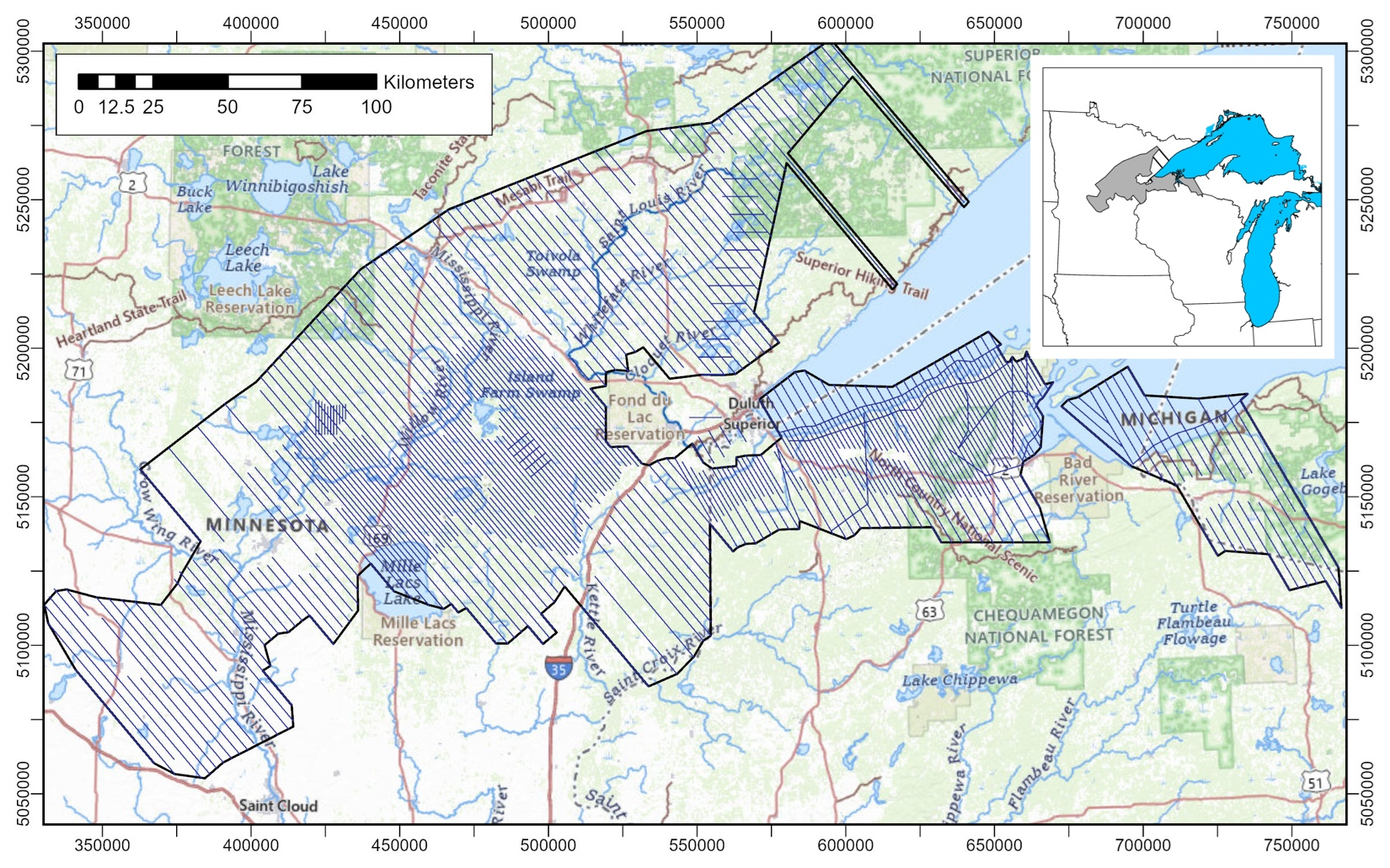
Map showing the location of the survey over Michigan, Wisconsin, and Minnesota. The survey will cover parts of Gogebic and Ontonagon counties in Michigan, Ashland, Bayfield, Douglas, Iron, and Vilas counties in Wisconsin, and Benton, Carlton, Cass, Crow Wing, Douglas, Itasca, Kanabec, Lake, Mille Lacs, Morrison, Otter Tail, Pine, St. Louis, Stearns, Todd, and Wadena counties in Minnesota.
Sources/Usage
Public Domain.