
Annotated photo of lava flows and tephra deposits of the southwest portion of Kaluapele (Kīlauea caldera)
Detailed Description
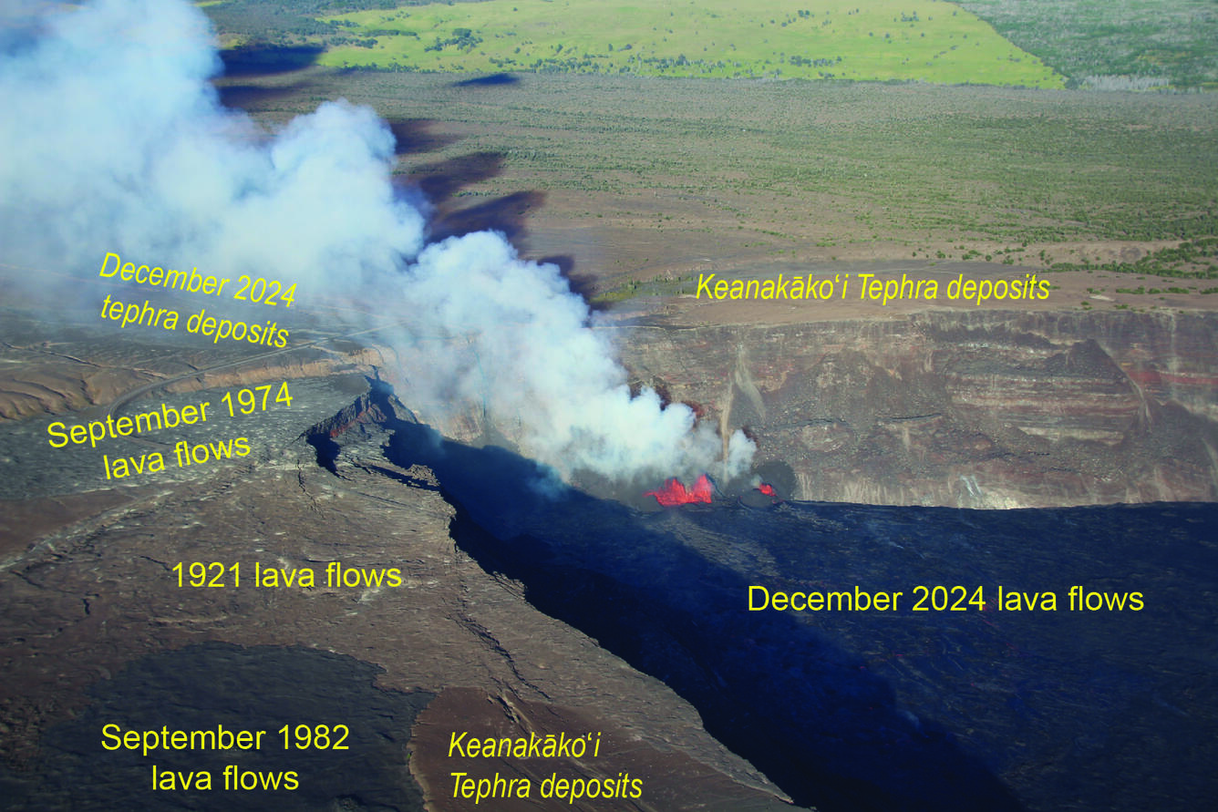
This annotated image shows the lava flows and tephra deposits of the southwest portion of Kaluapele (Kīlauea's summit caldera). The photo was taken during a USGS Hawaiian Volcano Observatory overflight on the morning of Monday, December 30, 2024, with a view to the east. The black lava in the bottom right part of the photo erupted within the last week, and lava flows from 1982 (dark brown), 1974 (brown), and 1921 (light brown) are visible in the bottom left side of the image. Keanakāko‘i Tephra forms tan deposits in the bottom center and background of the photo; Keanakāko‘i Tephra were erupted from the 1500s to early 1800s. Tephra deposits from the current eruption can be seen through the volcanic plume. USGS photo by N. Deligne.
Sources/Usage
Public Domain.