
April 18, 2025 — UAS overview of eruptive vents

Detailed Description
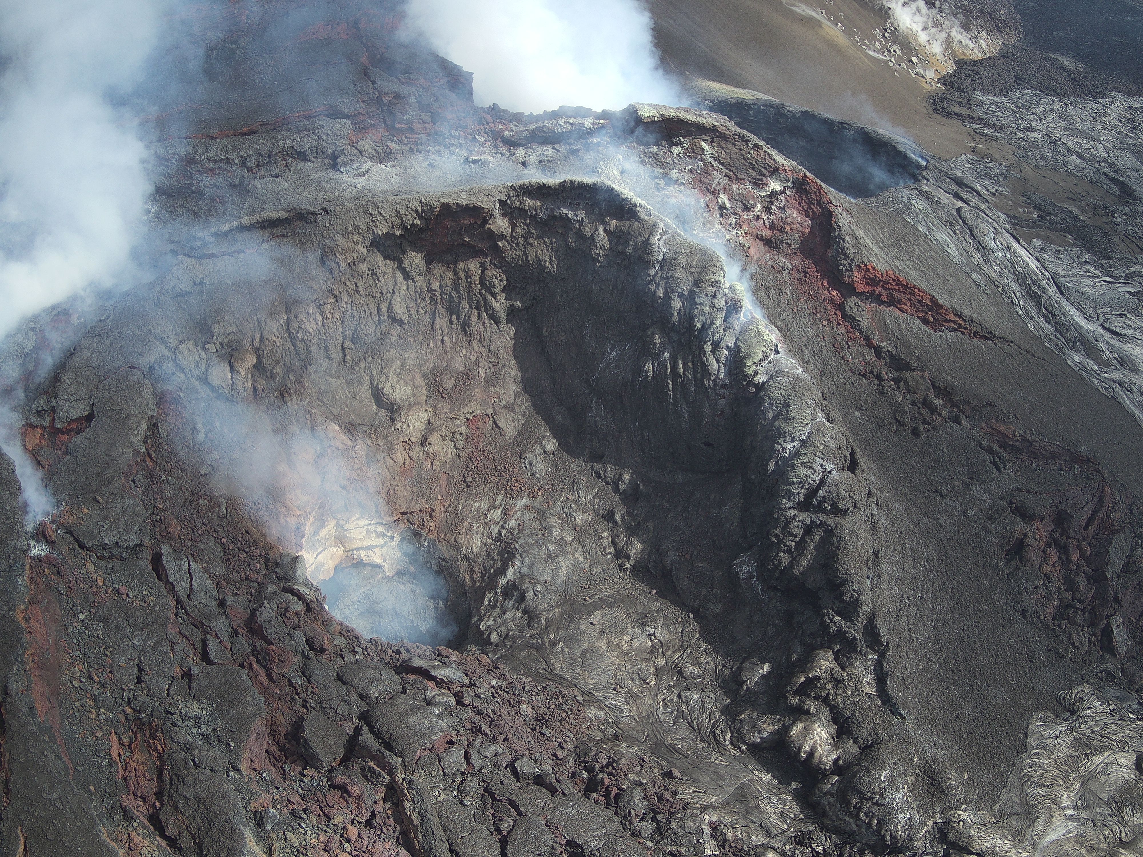
On April 18, USGS Hawaiian Volcano Observatory geologists flew UAS (uncrewed aircraft systems) into Halemaʻumaʻu to monitor the ongoing Kīlauea summit eruption. This oblique aerial photo provides an overview of the two eruptive vents, north (background) and south (foreground). Both were steadily degassing, and the hole in the base of the south vent hosted a spattering lava pond a few tens of meters below the surface. These UAS flights were conducted with the permission of Hawaiʻi Volcanoes National Park, owing to the USGS Hawaiian Volcano Observatory's mission to monitor active volcanoes in Hawaii, assess their hazards, issue warnings, and advance scientific understanding to reduce the impacts of eruptions. Unauthorized launching, landing, or operating of a UAS from or on lands and waters administered by the National Park Service is prohibited under 36 CFR Closures & Public Use. USGS photo by M. Zoeller.
Sources/Usage
Public Domain.