
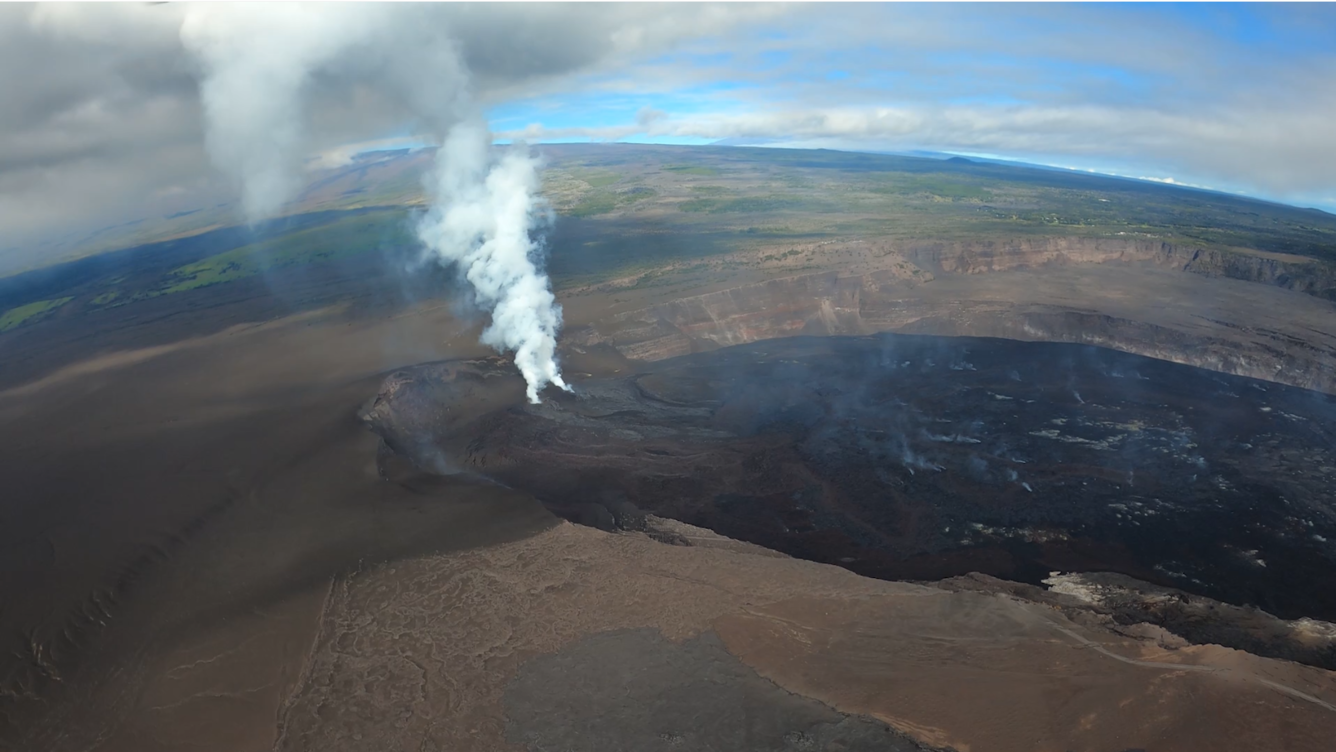
December 9, 2025—Aerial overview of Halemaʻumaʻu crater, Kīlauea volcano summit
Detailed Description
On December 9, USGS-Hawaiian Volcano Observatory geologists conducted an aerial overflight of Kīlauea summit region, following lava fountaining episode 38 of the Halemaʻumaʻu eruption on December 6. In this photo, the line on the ground in the lower left portion of the image shows the extent of tephra deposits created during episode 38. These deposits extend to the southwest, in the hazardous closed area of Hawaiʻi Volcanoes National Park. USGS photo by M. Patrick.
Sources/Usage
Public Domain.