
EDMAP NMT Field photo surface mapping
By National Cooperative Geologic Mapping Program
2023 (approx.)
Detailed Description
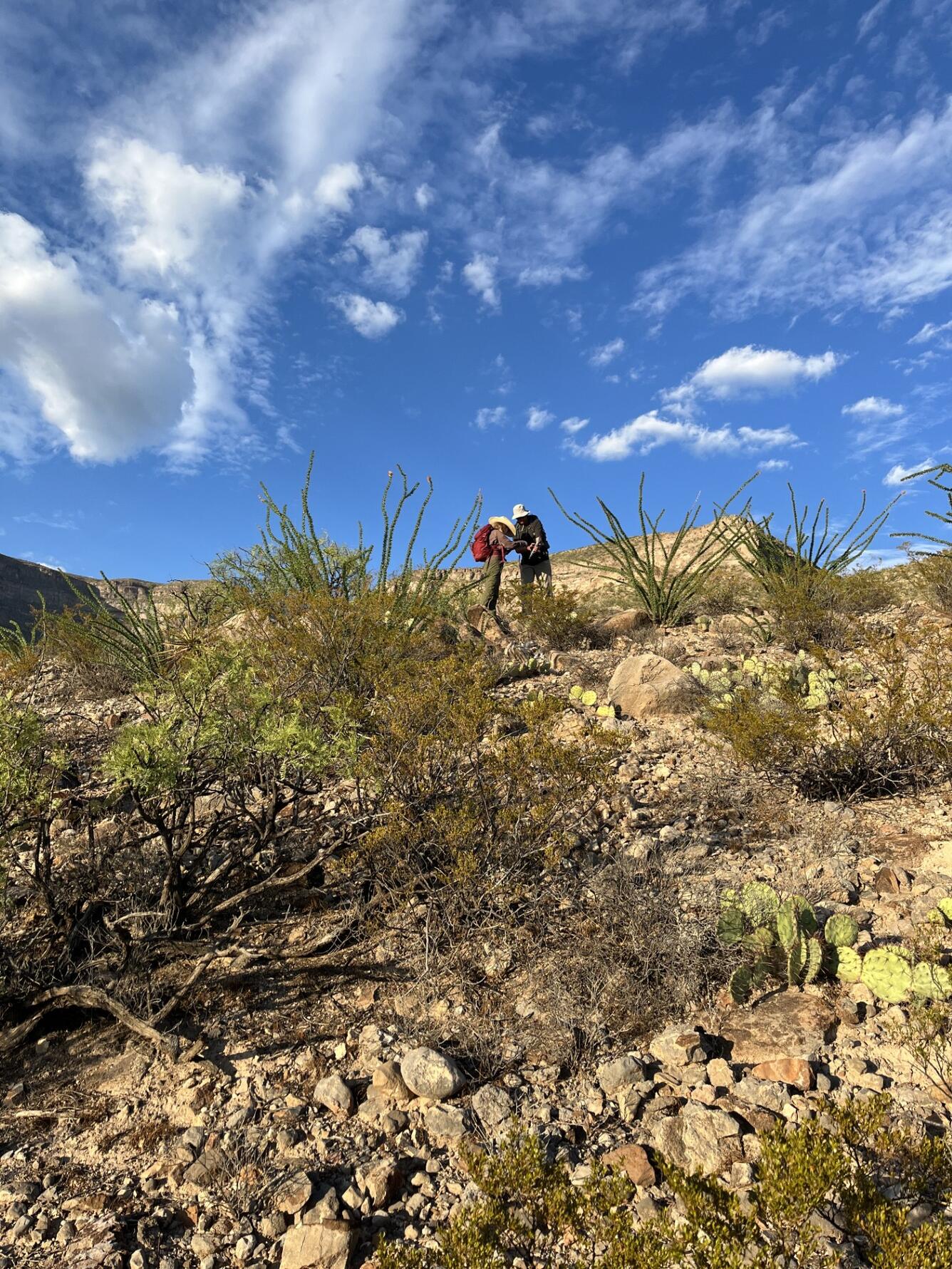
A professor and EDMAP student confer about Quaternary surface mapping along the Alamogordo fault in central New Mexico.
From a 2023 EDMAP project at NM Tech mapping Quaternary slip rate along the Alamogordo fault (New Mexico) using both remote sensing and field-based methods
Sources/Usage
Public Domain.
In the photo: Professor (left) Dr. Veronica Prush; Undergraduate student (right) Antonio Chavez
Photographer: George Pharris
All from New Mexico Tech.
Used with author's permission.
Related

EDMAP
As the educational component of the National Cooperative Geologic Mapping Program (NCGMP), EDMAP partners with colleges and universities to train the next generation of geologic mappers. To receive information related to the EDMAP Program, click on the button below:
Related
EDMAP
As the educational component of the National Cooperative Geologic Mapping Program (NCGMP), EDMAP partners with colleges and universities to train the next generation of geologic mappers. To receive information related to the EDMAP Program, click on the button below: