



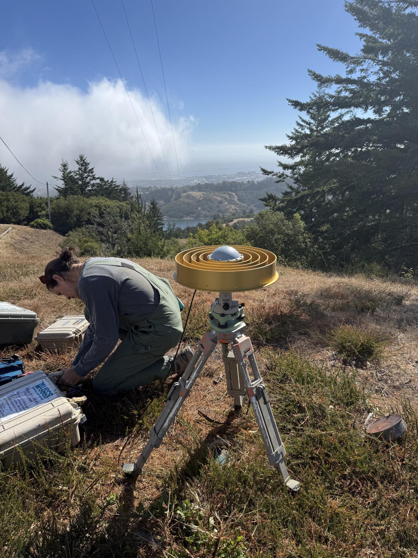
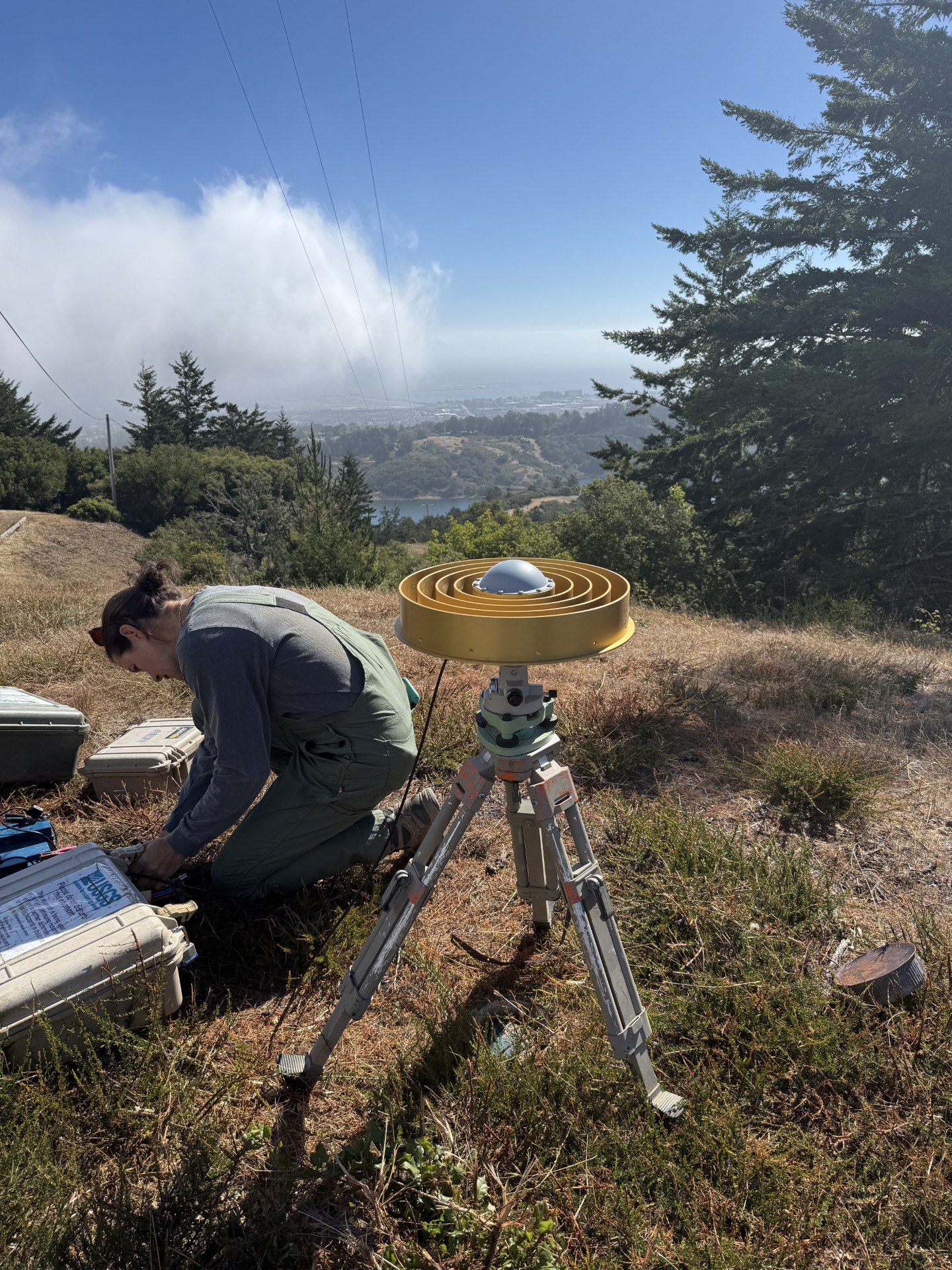
Eleyne Phillips making GNSS measurements above San Andreas Lake, California


Detailed Description
Photo shows USGS scientist Eleyne Phillips using a GNSS to measure crustal deformation above San Andreas Lake, California. The USGS has been measuring changes in the positions of benchmarks in northern California over decades to monitor earthquake hazards.
Sources/Usage
Public Domain.