
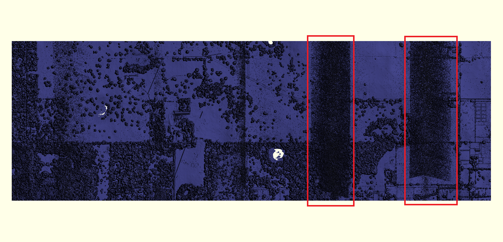
Example of Maximum Surface Height Raster (MSHR).
By NGP Standards and Specifications
2020 (approx.)

Detailed Description
Example of Maximum Surface Height Raster (MSHR) created from highest lidar point cloud value in each pixel. Areas in boxes illustrate non-valid returns that were not properly flagged as withheld.
Sources/Usage
Public Domain.