
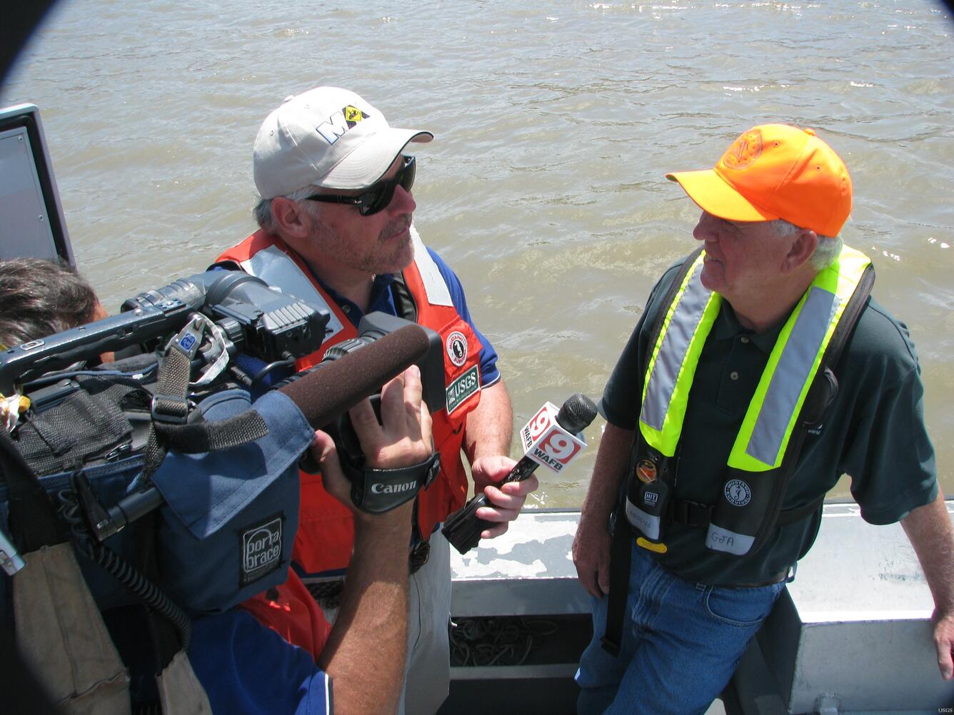
George Arcement Explains USGS Flood Response Activities
Detailed Description
USGS Louisiana Water Science Center Director George Arcement explains USGS' activities during the 2011 to WAFB Meteorologist Jay Grymes. USGS has crews measuring streamflow, sediment and water quality throughout South Louisiana, including daily measurements at the Morganza and Bonnet Carre Spillways. In addition, USGS crews fly LiDAR on float planes to map the path of the water from the Morganza Spillway to monitor potential backwater flooding.
Sources/Usage
Public Domain.