
Global Seabed Minerals.png
Detailed Description
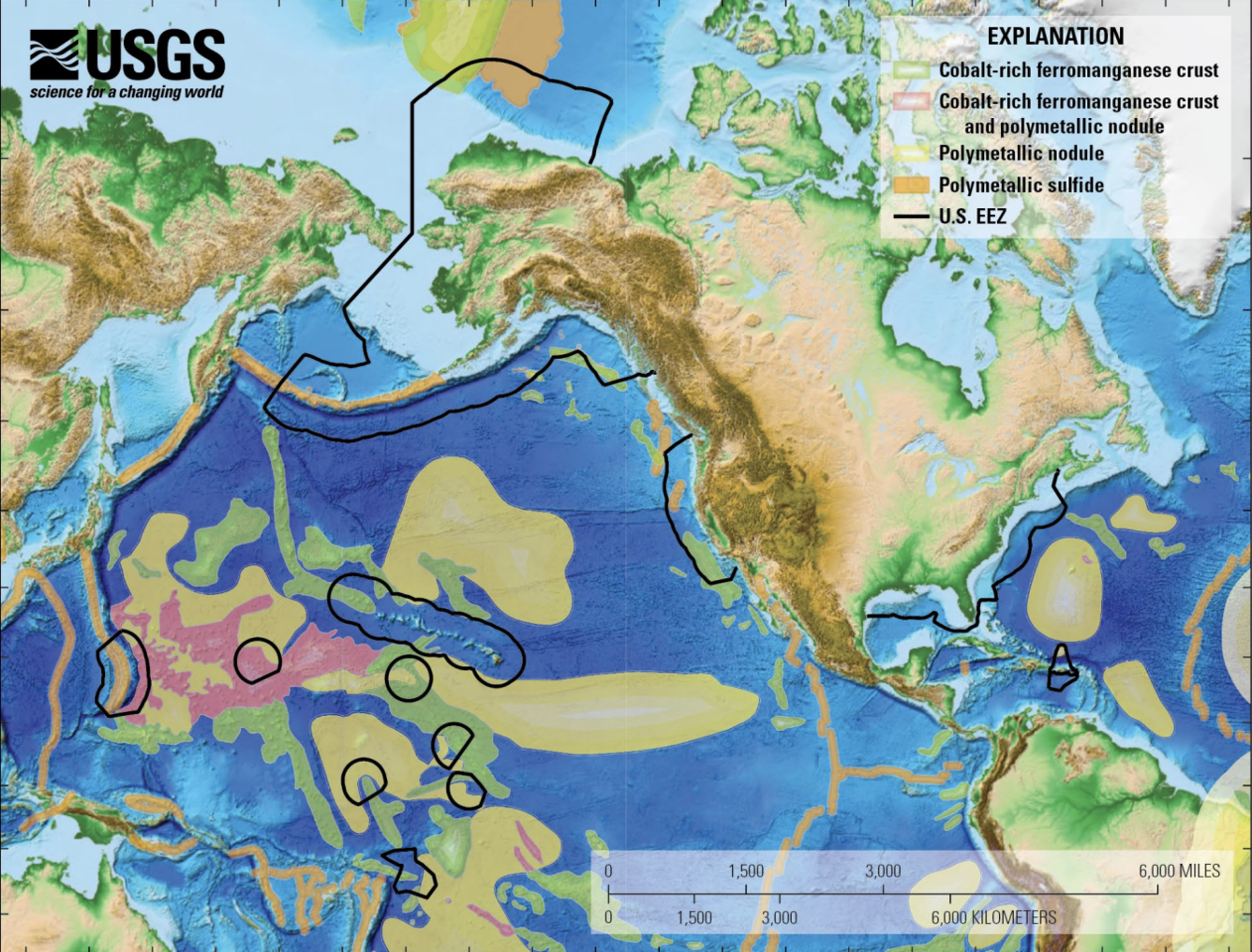
Colorful map of the Continental US and parts of the Atlantic, Arctic and Pacific oceans, with black lines showing the extent of the U.S. Outer Continental Shelf and the Exclusive Economic Zone surrounding U.S. island territories, with color-keyed indications of mineral prospectivity.
Sources/Usage
Public Domain.