
Holston River NHD to 3DHP Animation
Detailed Description
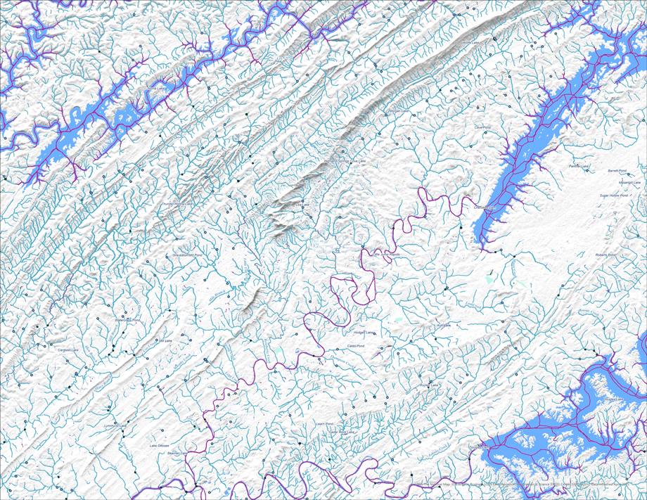
The USGS has updated the 3D Hydrography Program (3DHP) web service (accessible at https://3dhp.nationalmap.gov/arcgis/rest/services/usgs_3dhp_all/FeatureServer). This updated service includes the first new hydrography data published by the 3DHP and aligned with 3D Elevation Program (3DEP) data. The updated data, in the Holston River area (Hydrologic Unit 0601010403) near Knoxville, Tennessee, are integrated into older, surrounding data from the retired National Hydrography Dataset.
In addition to improved spatial fidelity with the 3DEP lidar, the data in the Holston River area include Mainstem IDs, a common identification framework supported by the Internet of Water Coalition and adopted by multiple agencies for reporting water-resources information. This service update also includes Flow Network Derivatives, attributes that enable users to rapidly perform common network analysis tasks like identifying upstream tributaries or calculating the network distance between two points.
Sources/Usage
Public Domain.