



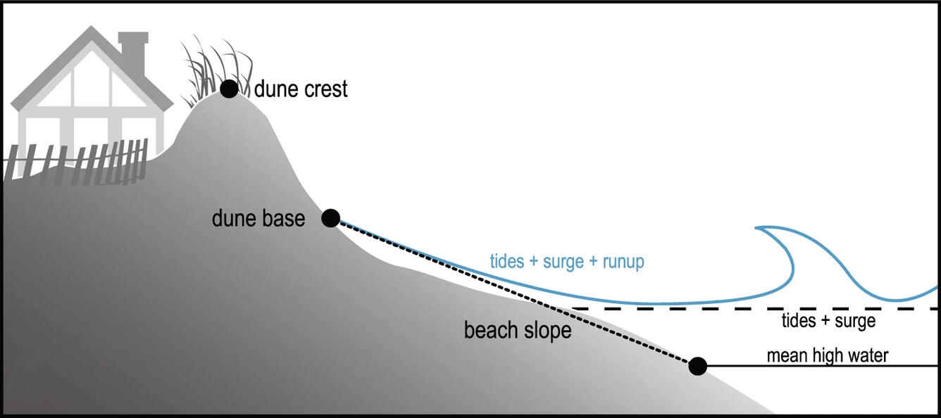
An illustration of a typical beach system


Detailed Description
An illustration of a typical beach system. Total water level is modeled as the sum of tide, storm surge, and wave runup. Figure 1 from USGS open-source article: Stockdon, H.F., Long, J.W., Palmsten, M.L. et al., 2023, Operational forecasts of wave-driven water levels and coastal hazards for US Gulf and Atlantic coasts: Commun Earth Environ 4, 169 https://doi.org/10.1038/s43247-023-00817-2
Sources/Usage
Public Domain.