
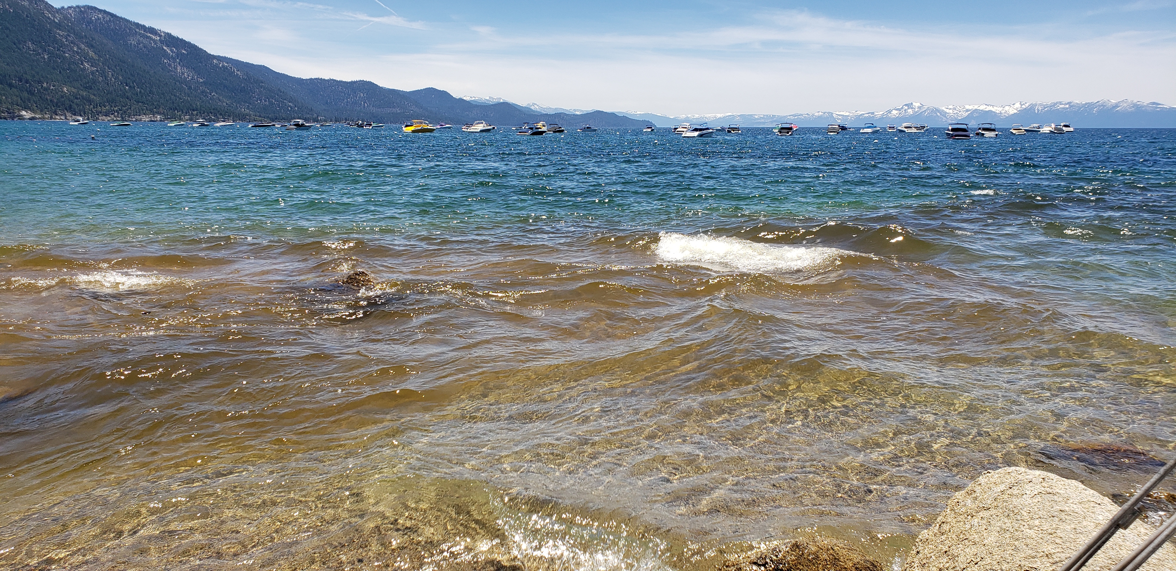
Incline Creek, NV
By Nevada Water Science Center
2020 (approx.)

Detailed Description
View of near shore Incline Creek, NV.
Sources/Usage
Public Domain.
Related

Quantifying watershed controls on fine sediment particles and nutrient loading to Lake Tahoe using data mining and machine learning
Since the late 1980’s, the USGS has collected discharge, sediment, and water quality data at seven major drainages under the Lake Tahoe Interagency Monitoring Program (LTIMP). Recently, continuous, real-time measurements of turbidity were added to the LTIMP. These data can be combined with in situ, model simulations, and remotely-sensed datasets available from the USGS, National Aeronautics and...
Related
Quantifying watershed controls on fine sediment particles and nutrient loading to Lake Tahoe using data mining and machine learning
Since the late 1980’s, the USGS has collected discharge, sediment, and water quality data at seven major drainages under the Lake Tahoe Interagency Monitoring Program (LTIMP). Recently, continuous, real-time measurements of turbidity were added to the LTIMP. These data can be combined with in situ, model simulations, and remotely-sensed datasets available from the USGS, National Aeronautics and...