
July 2022 — Kīlauea Airborne Electromagnetic Survey Flightline Block Boundaries

Detailed Description
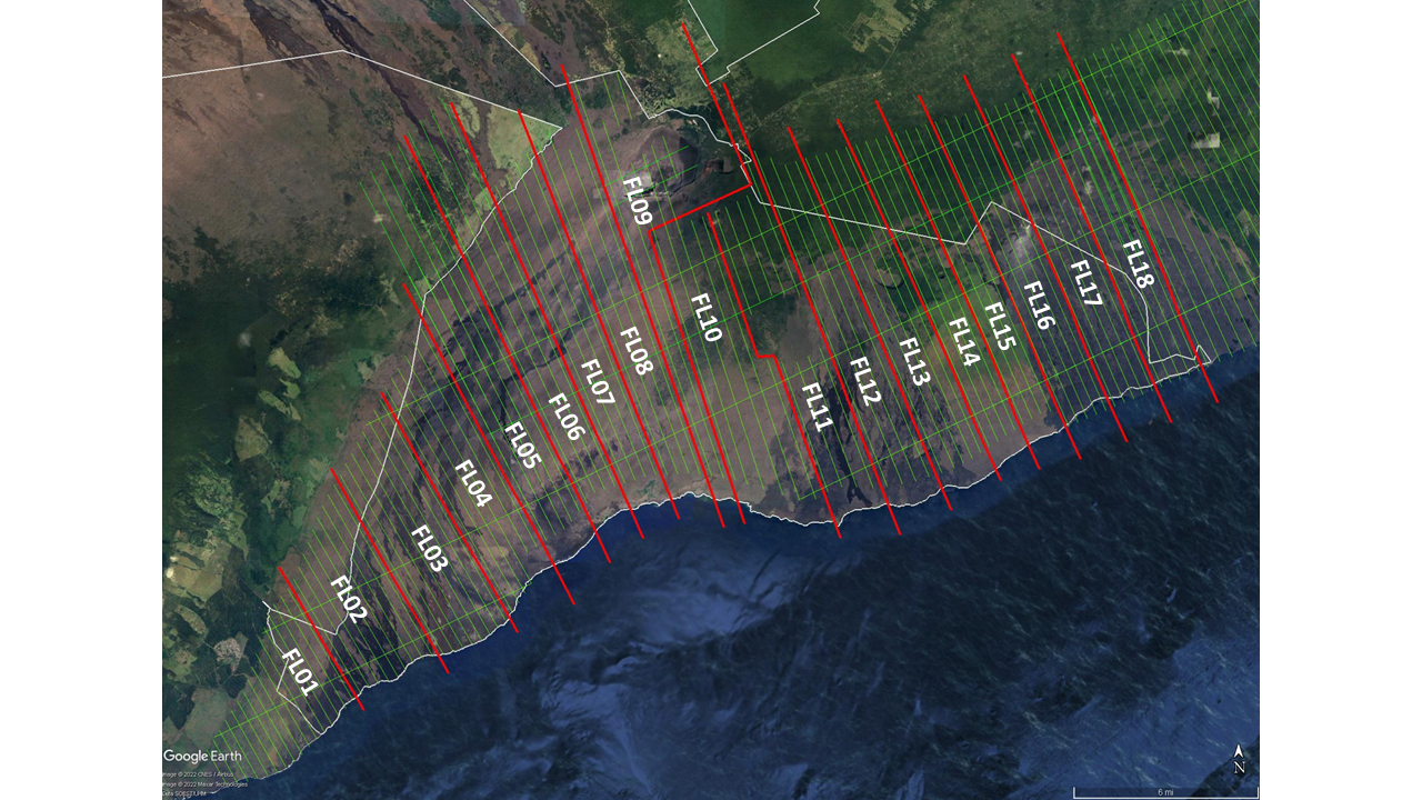
Map of Kīlauea volcano showing the helicopter flight-line (green) block boundaries (red) for the geophysical survey that will be conducted from approximately July 5-25, 2022. Please see the schedule on the project webpage for the survey dates of each block. The survey will be conducted from air space over Hawai‘i Volcanoes National Park (boundary in white on the map), Hawaii State lands, and Kamehameha Schools/Bishop Estate lands. The survey aircraft will not fly over or collect any data from residential areas or other regions excluded by Federal Aviation Administration regulations or Hawai‘i Volcanoes National Park policies. All flights will occur during daylight hours and are coordinated with the Federal Aviation Administration to ensure accordance with U.S. law. USGS map.
Sources/Usage
Public Domain.