
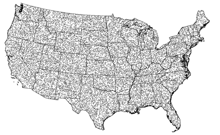
LCMAP Reference Data Plots Distributed Across CONUS

Detailed Description
USGS Land Change Monitoring, Assessment, and Projeciton (LMCAP) Reference Data Plots Distribution Across the Conterminous United States. For more information, visit the LCMAP Website.
Sources/Usage
Public Domain.