
LCMAP Sample Data Location
By Land Change Monitoring, Assessment, and Projection
2019 (approx.)

Detailed Description
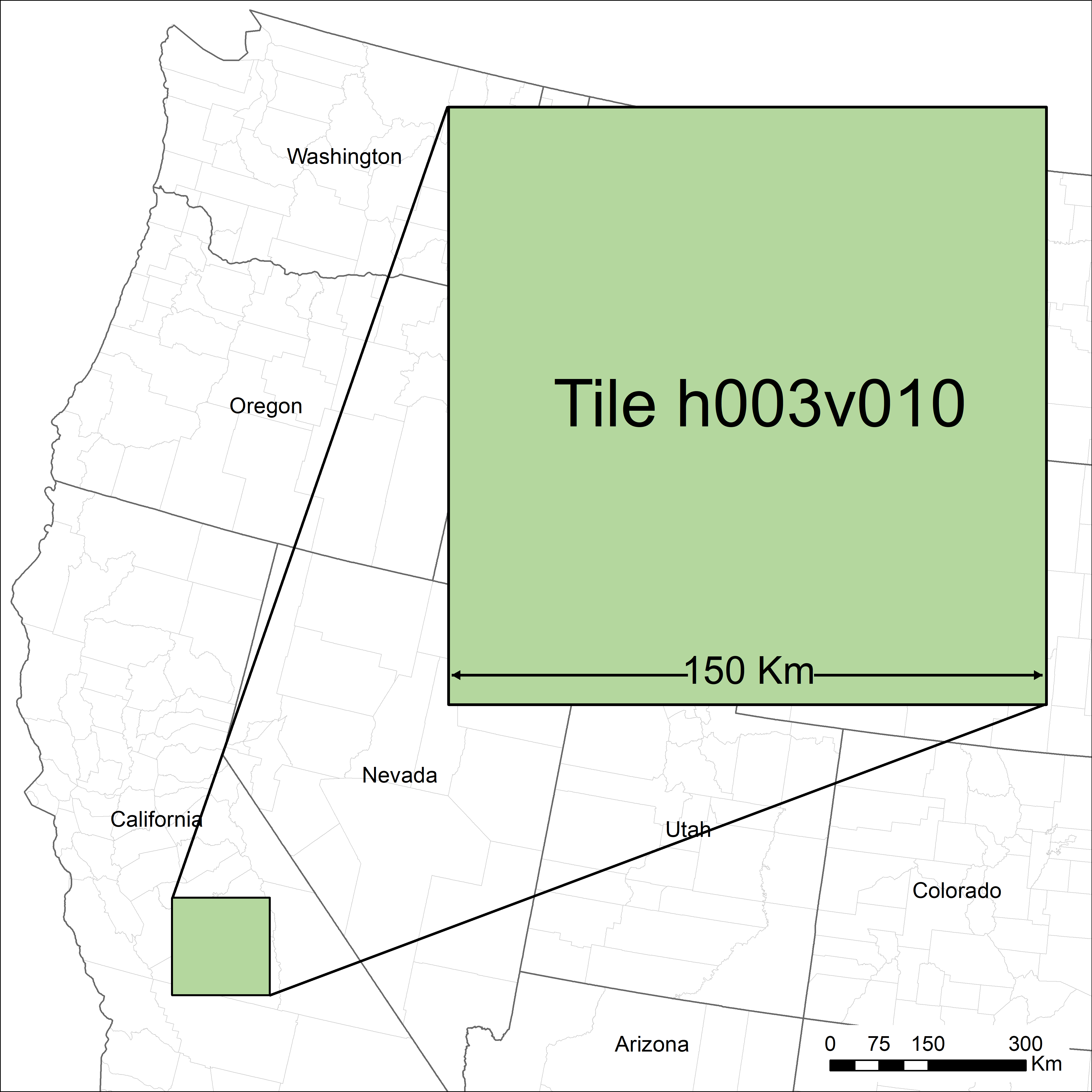
Graphic illustrating the location in California's Central Valley for which USGS Land Change Monitoring, Assessment and Projection sample data is available. Tile location based on Landsat ARD grid system.
Sources/Usage
Public Domain.