
Lesson 10c1: Importing Data Into Global Mapper
By National Geospatial Program
August 2019 (approx.)

Detailed Description
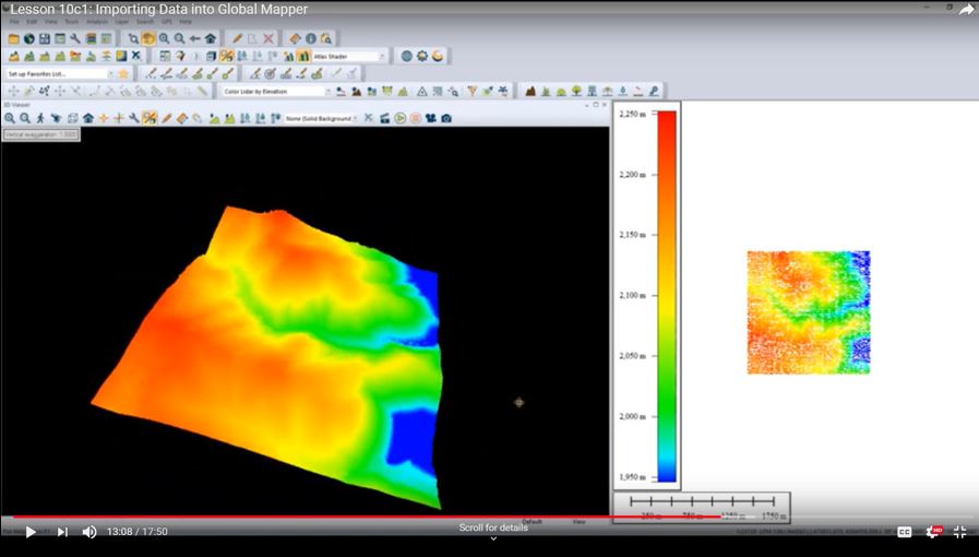
This image is a screenshot of a training video on YouTube, one video in a series on various products and services of The National Map. The image displays high resolution elevation data from 3D Elevation Program (3DEP), in the software application Global Mapper.
Sources/Usage
Public Domain.