
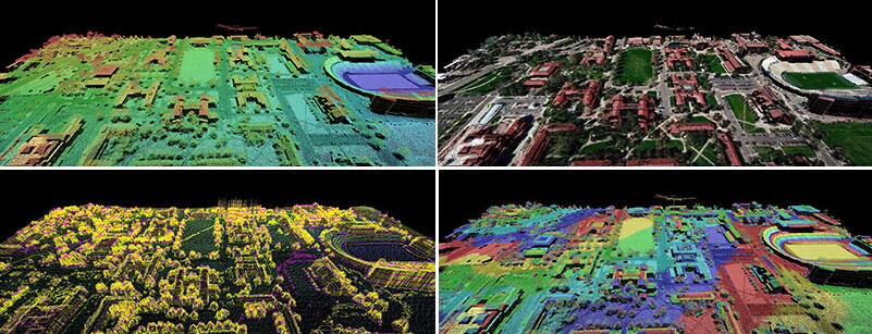
Lidar elevation map
By Core Science Systems Mission Area
2016 (approx.)
Detailed Description
Lidar is used to detect potential obstacles that present hazards to air navigation.
Sources/Usage
Public Domain.