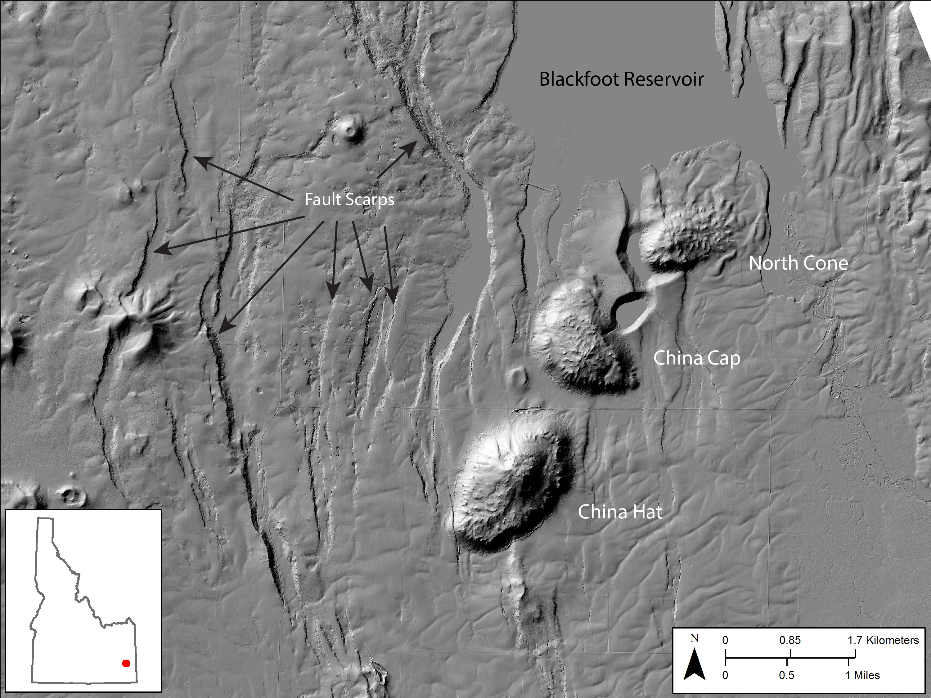
Lidar hillshade map of part of the Blackfoot Volcanic Field

Detailed Description
Lidar hillshade map of part of the Blackfoot Volcanic Field, showing rhyolite domes and fault scarps.
Sources/Usage
Public Domain.

Official websites use .gov
A .gov website belongs to an official government organization in the United States.
Secure .gov websites use HTTPS
A lock () or https:// means you’ve safely connected to the .gov website. Share sensitive information only on official, secure websites.
Lidar hillshade map of part of the Blackfoot Volcanic Field, showing rhyolite domes and fault scarps.
Public Domain.