



Mauna Loa GPS displacement field between 2025-2026
By Hawaiian Volcano Observatory
July 2026 (approx.)
Detailed Description
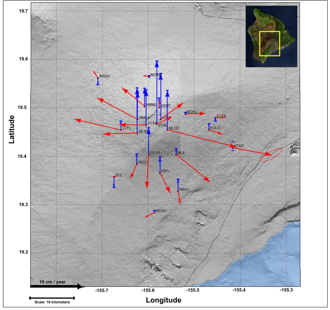

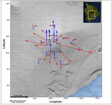
Displacement field showing the horizontal (red arrows) and vertical (blue arrows) components of motion recorded by Global Positioning System (GPS) positions at each campaign benchmark site from surveys conducted between 2025-2026. The arrows point in the direction of motion and lengths represent how far positions were displaced over the past year. A scale arrow is displayed in the bottom left corner. The highest measured position change was site MLCE on the southeast flank of Mauna Loa, which showed about 5.5 inches (14 cm) of horizontal displacement to the east-southeast, and approximately 3 inches (8 cm) of vertical upward displacement during the past year.
Sources/Usage
Public Domain.