
May 22, 2026 — Maunaiki shield and Kaʻū Desert trail on the Southwest Rift Zone of Kīlauea

Detailed Description
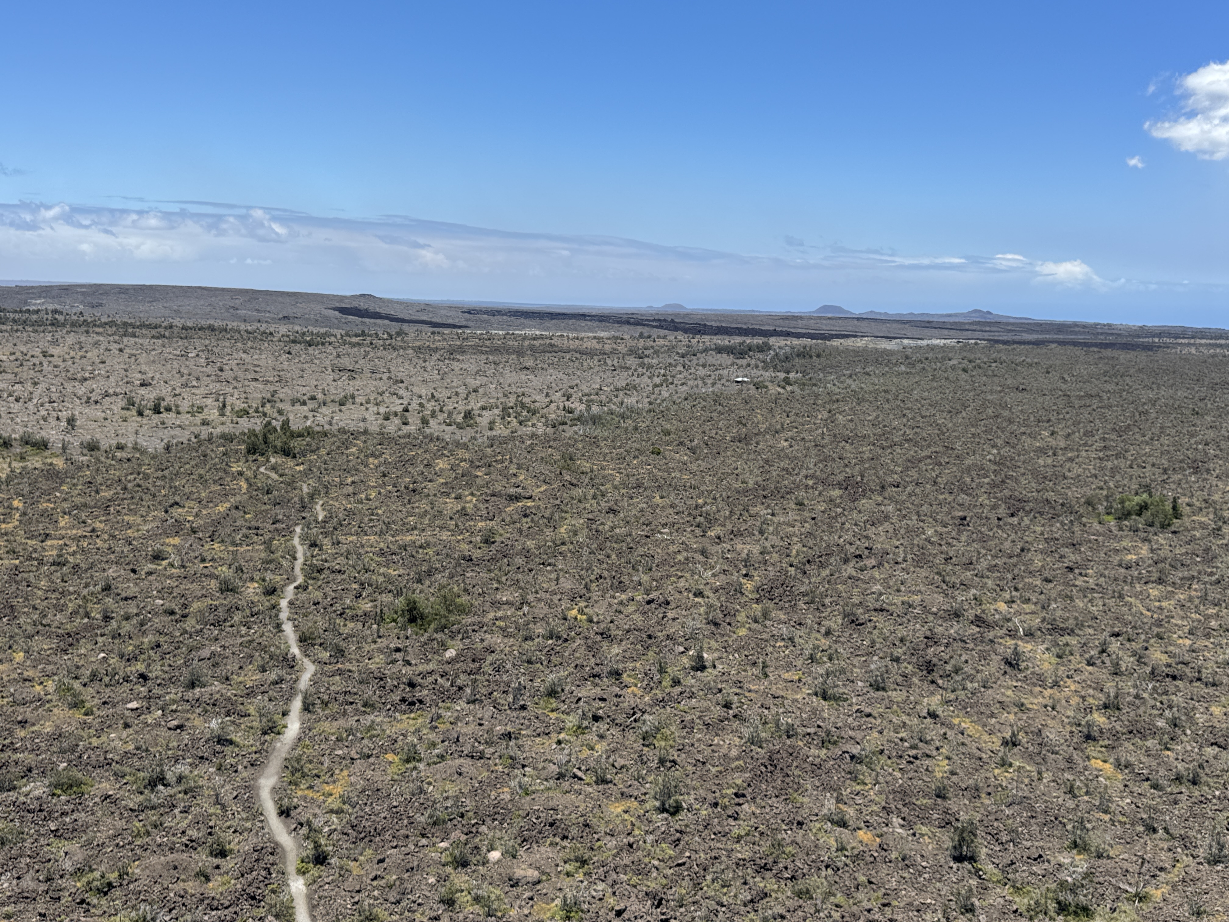
As USGS Hawaiian Volcano Observatory traversed under the volcanic plume from Kīlauea summit where it was transported downwind into the Kaʻū Desert area of Hawaiʻi Volcanoes National Park, they captured this view of the Maunaiki shield and Kaʻū Desert trail. Maunaiki is the low-profile shield in the left side of the image, with other Kīlauea Southwest Rift Zone vents visible in the background in the right side of the image. USGS photo by K. Mulliken.
Sources/Usage
Public Domain.