
Mojave Groundwater Data
Detailed Description
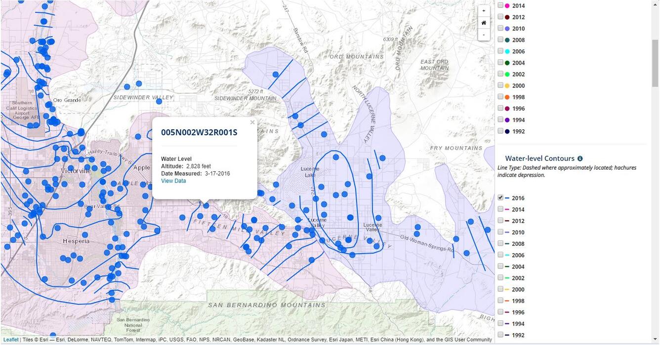
Screenshot of an interactive map of groundwater data in the Mojave and Morongo groundwater basins. The map is displaying 2016 water-level measurement sites, and the resulting water-level contours.
Sources/Usage
Public Domain.