
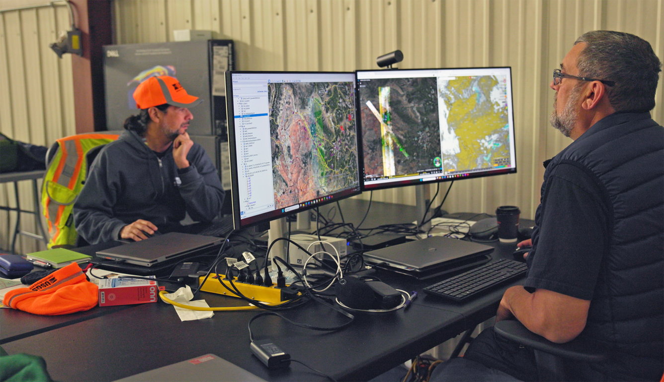
Monitoring hyperspectral data while NASA’s high‑altitude ER‑2 aircraft conducts mineral‑mapping flights
Detailed Description
U.S. Geological Survey geophysicists Ray Kokaly (left) and Todd Hoefen (right) monitor incoming hyperspectral data in the hangar as NASA’s high‑altitude ER‑2 aircraft conducts mineral‑mapping flights over the western United States. The surveys, part of the USGS Earth Mapping Resources Initiative and the NASA–USGS Geological Earth Mapping Experiment, collect high‑resolution spectral information used to identify critical minerals and assess geologic hazards such as landslides. USGS photo by Peter Pearsall.
Sources/Usage
Public Domain.