
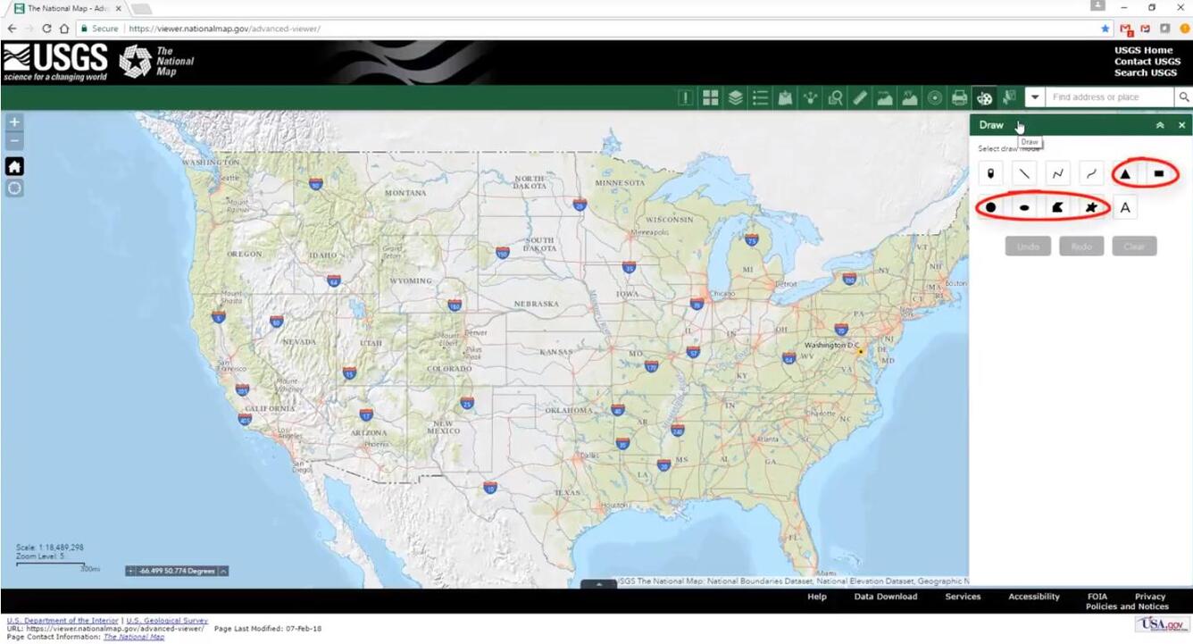
National Map Viewer with draw tool open
Detailed Description
National Map Viewer with draw tool open
Sources/Usage
Public Domain.
The National Map Training Video Lesson 3D
Lesson 3d - Using the Draw Tool in The National Map Viewer:
Add data to National Map viewer using the draw tool.
Measure distances in the National Map Viewer using the draw tool.
This lesson runs for 5 minutes and 41 seconds.