
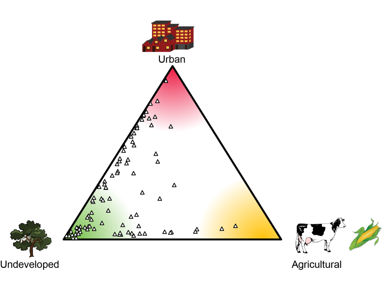
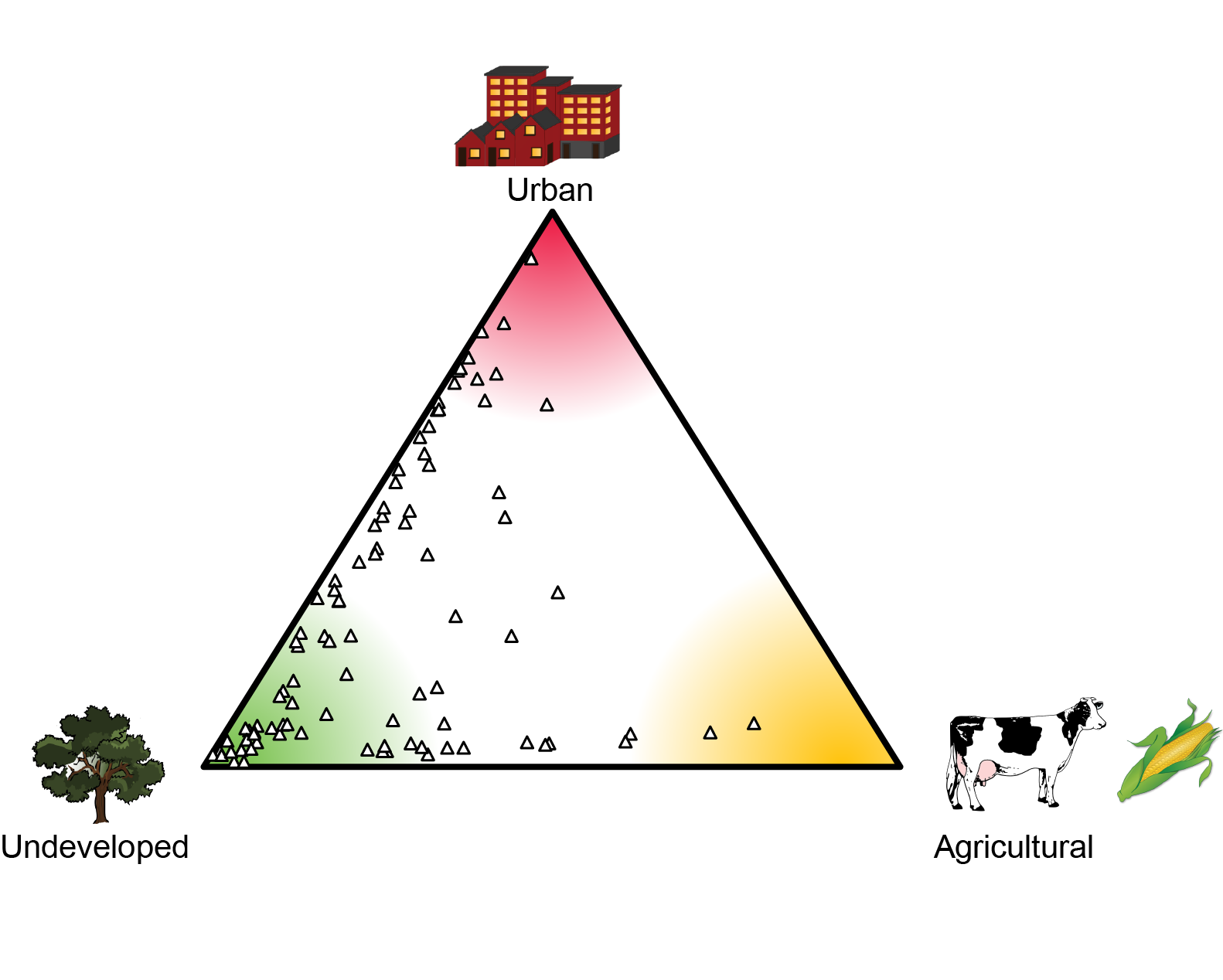
NESQA landuse ternary diagram
Detailed Description
NESQA landuse ternary diagram indicating the landuse distribution for sites sampled for the Northeast Stream Quality Assessment. Most of the sites range from mostly undeveloped to mostly urban, with a smaller amount with a mix of undeveloped and agricultural land use.
Sources/Usage
Public Domain.