



New data layer: recent wildfires
By Forest and Rangeland Ecosystem Science Center
February 2024 (approx.)


Detailed Description
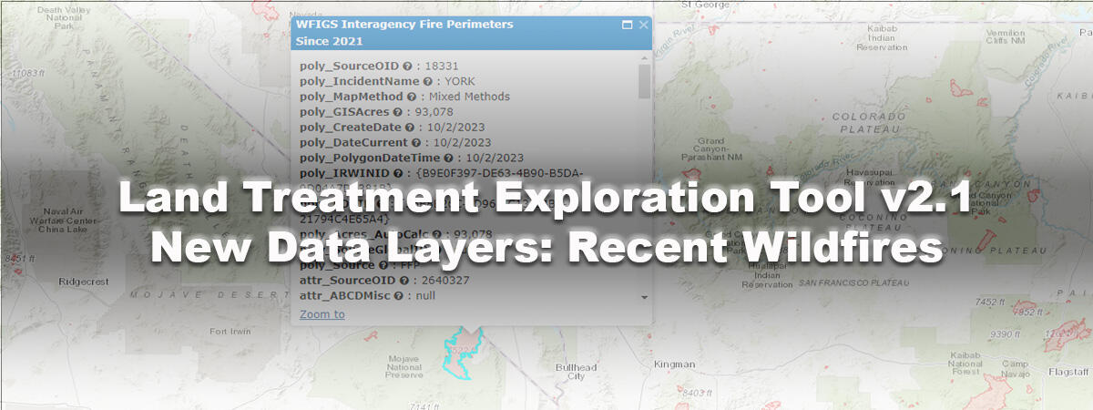
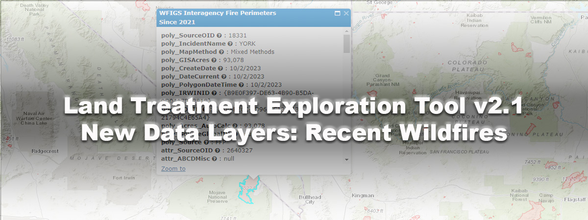
Perimeters of recent wildfires were added to the LTET and can be used in land treatment planning reports
Sources/Usage
Public Domain.
Graphic by Michelle Jeffries, USGS