New Madrid Seismic Zone

Detailed Description
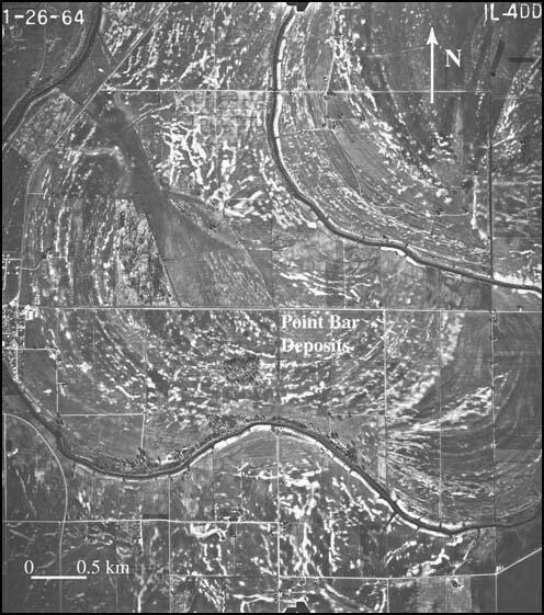
Aerial photograph showing light-colored patches that are sand blow deposits near Lepanto, Arkansas (from U.S. Department of Agriculture, January 26, 1964). Many sand blows formed above scroll bars of Pemiscot Bayou, also known as Left Hand Chute of Little River.n
Sources/Usage
Public Domain.

