
Numerical model of coastal Erosion by Waves and Transgressive Scarps (NEWTS)
By St. Petersburg Coastal and Marine Science Center
May 2024 (approx.)

Detailed Description
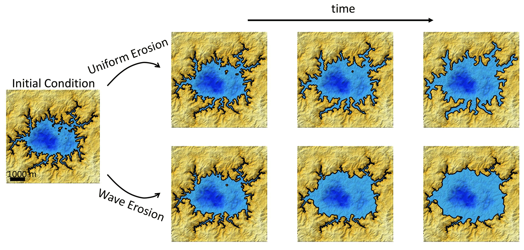
Shaded relief maps of example model simulations of uniform erosion and wave erosion through time, starting from the same initial condition. Blue color indicates liquid cells, with darker blues indicating deeper depths. Gold color indicates land cells, with lighter shades indicating higher elevations. Black lines trace shorelines.
Sources/Usage
Public Domain.
Geoscientific Model Development, https://doi.org/10.5194/gmd-17-3433-2024, © Author(s) 2024. This work is distributed under
the Creative Commons Attribution 4.0 License.