
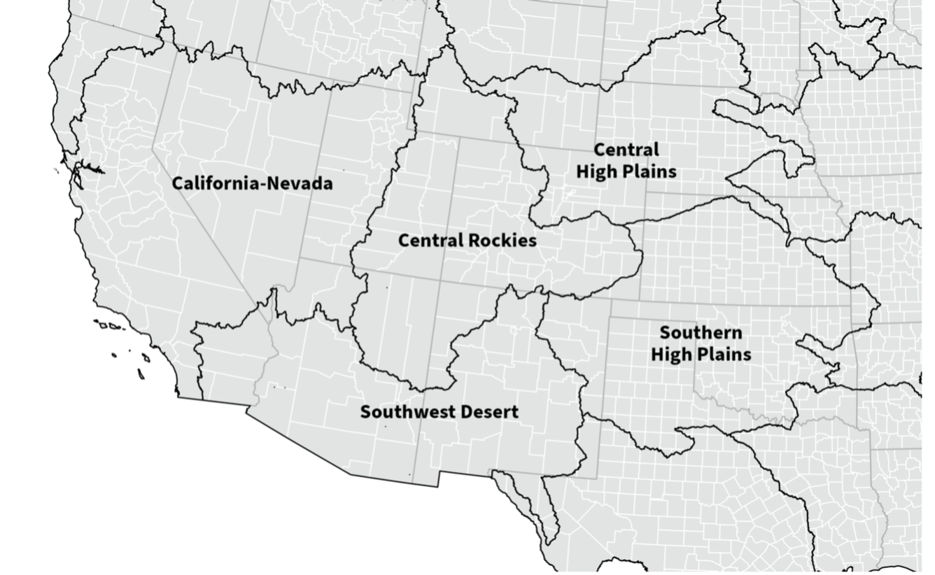
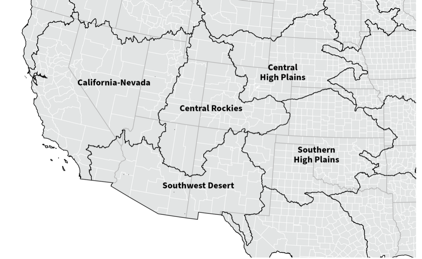
NWAA Hydrologic Region Map - Southwest
Detailed Description
NWAA (National Water Availability Assessment) region map of the southwest U.S. Hydrologic regions are defined by the natural boundaries of watersheds, playing a crucial role in understanding how water moves through the landscape. These regions help us assess water availability and usage in areas that share similar hydrologic characteristics.
Sources/Usage
Public Domain.