
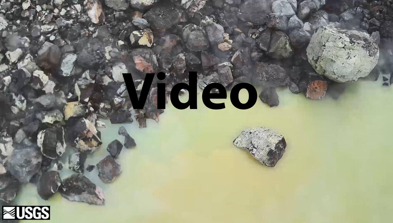
In this October 26 reconnaissance survey, the Unoccupied Aircraft System (UAS) r
Detailed Description
In this October 26 reconnaissance survey, the Unoccupied Aircraft System (UAS) reaches the northeast part of the Halema‘uma‘u crater lake, where large rocks at the lake margin are often used to visually track the rising water level. Taken over a period of about 5.5 minutes, the survey is shown at 3 times the speed it was filmed. Limited UAS flights into this hazardous area are conducted with permission from and coordination with Hawai‘i Volcanoes National Park. The information is used to assess hazards at Kīlauea's summit and is shared with the National Park Service and emergency managers. Footage is courtesy of the U.S. Department of the Interior Office of Aviation Services.
Sources/Usage
Public Domain.