



Relation between the Lava Creek Tuff and Sour Creek dome at Yellowstone Caldera
By Yellowstone Volcano Observatory
June 2026 (approx.)


Detailed Description
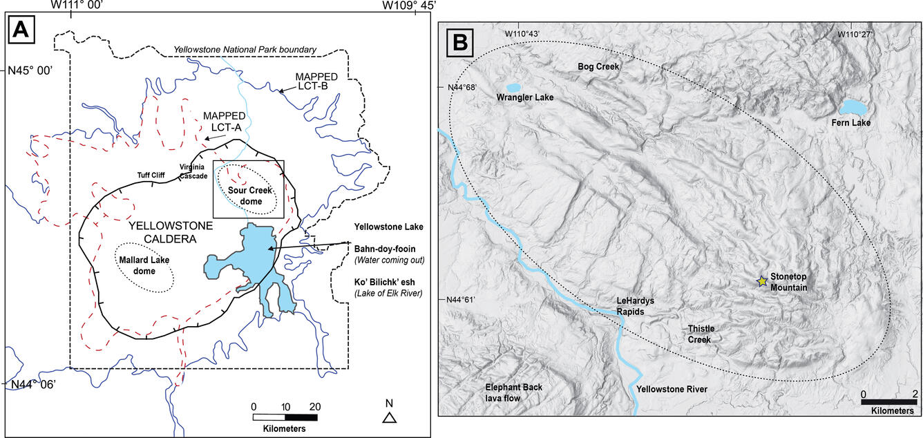
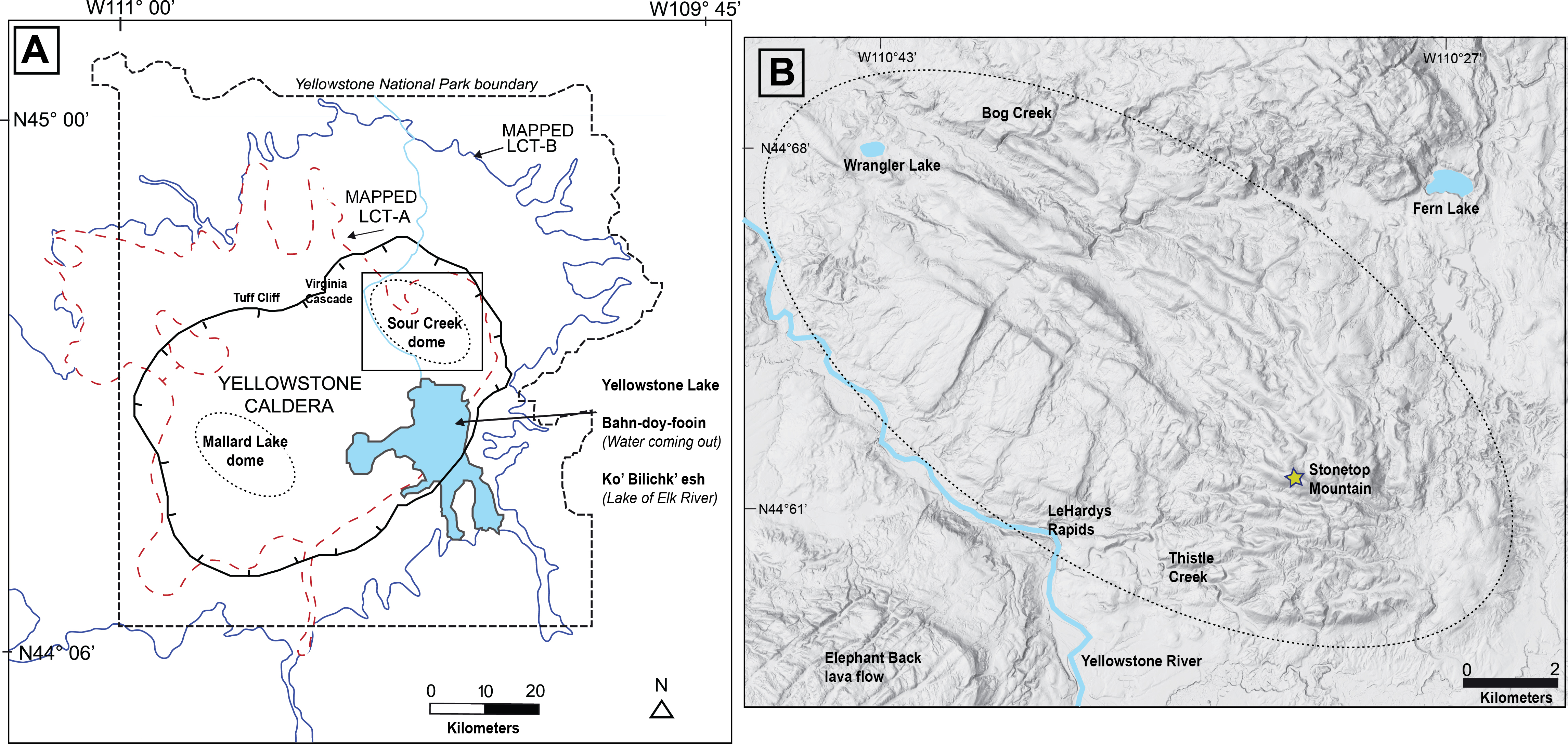
Relation between the Lava Creek Tuff and Sour Creek dome at Yellowstone Caldera. (A) Map showing outlines of the two previously mapped outflow sheets (LCT-A and LCT-B) associated with Lava Creek Tuff eruption (modified from Christiansen, 2001; Shamloo and Till, 2019) in and around Yellowstone National Park. Box shows Sour Creek dome study area. Thick black line represents Yellowstone Caldera boundary. The traditional name for Yellowstone Lake in the Apsáalooke (Crow) language (Lichiilikaashaashe Alachiliche) and Nimiipuu (Nez Perce) language (Wispáyk’as) are listed. (B) Shaded relief map of Sour Creek dome area.
Sources/Usage
Public Domain.