
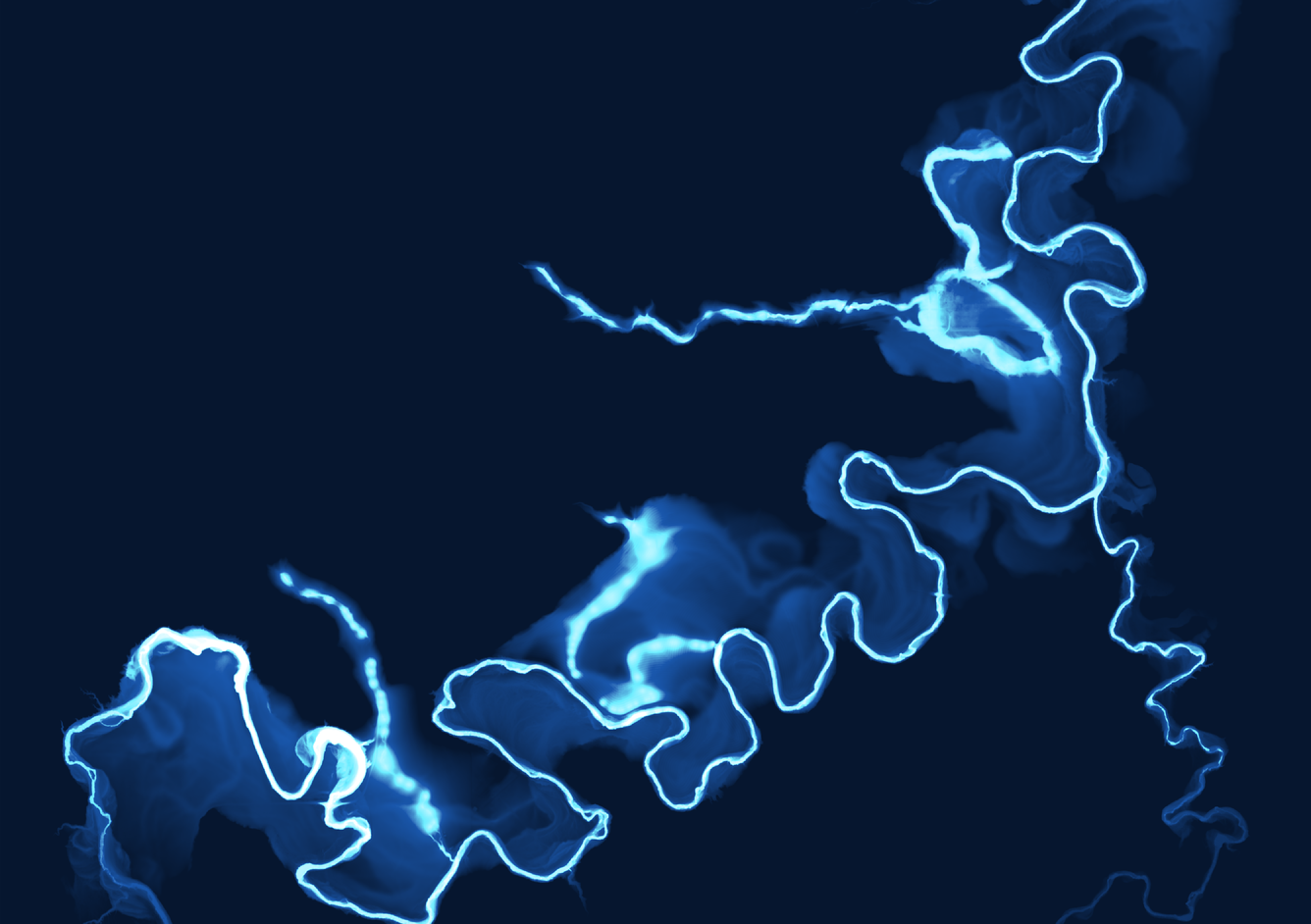
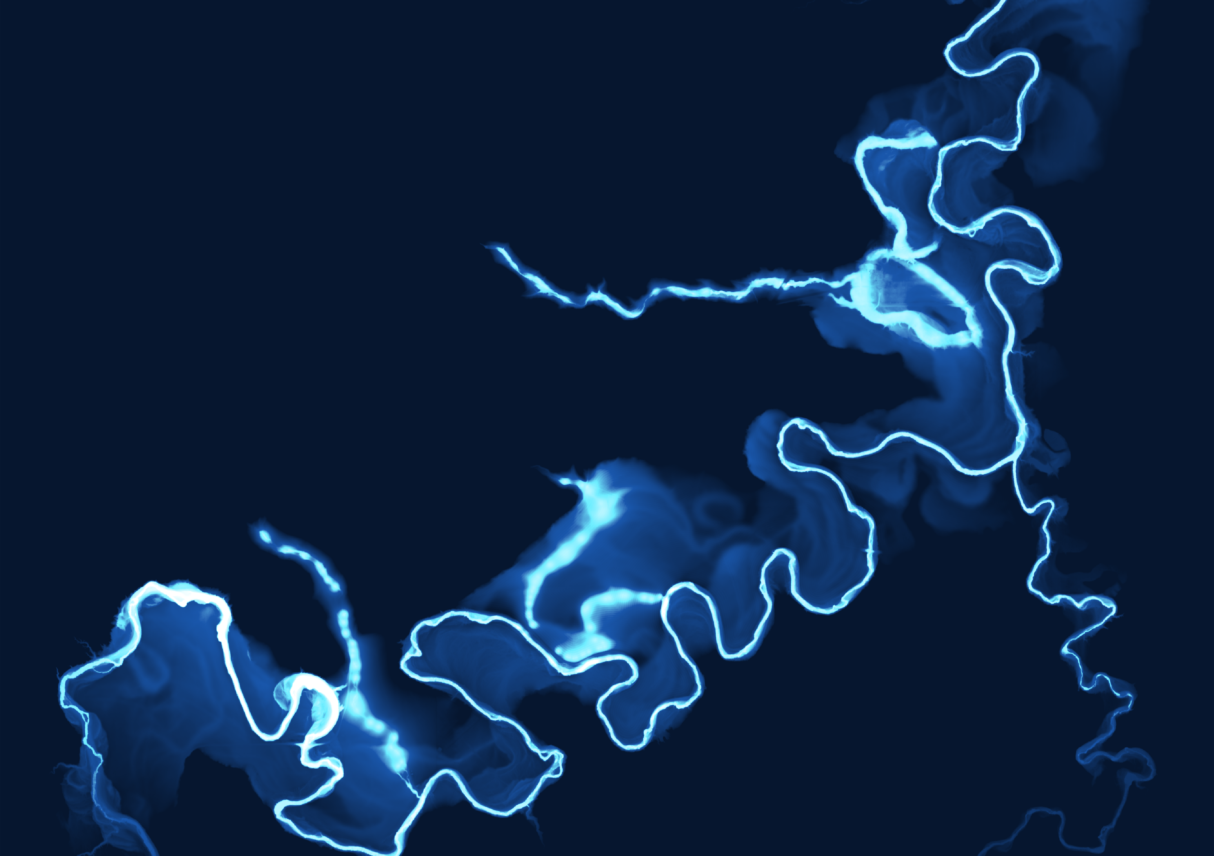
Relative elevation model (REM) of Beaver Creek, Liberty County, MT
Detailed Description
This map shows the intricate fluvial landforms (e.g., meanders, relic stream channels, meander cutoffs) of Beaver Creek, Liberty County, MT. Relative elevation models show elevation of a landscape relative to the elevation of an adjacent river. Data available at: https://www.sciencebase.gov/catalog/item/64e9bcecd34ec376dc8816af
Sources/Usage
Public Domain.