



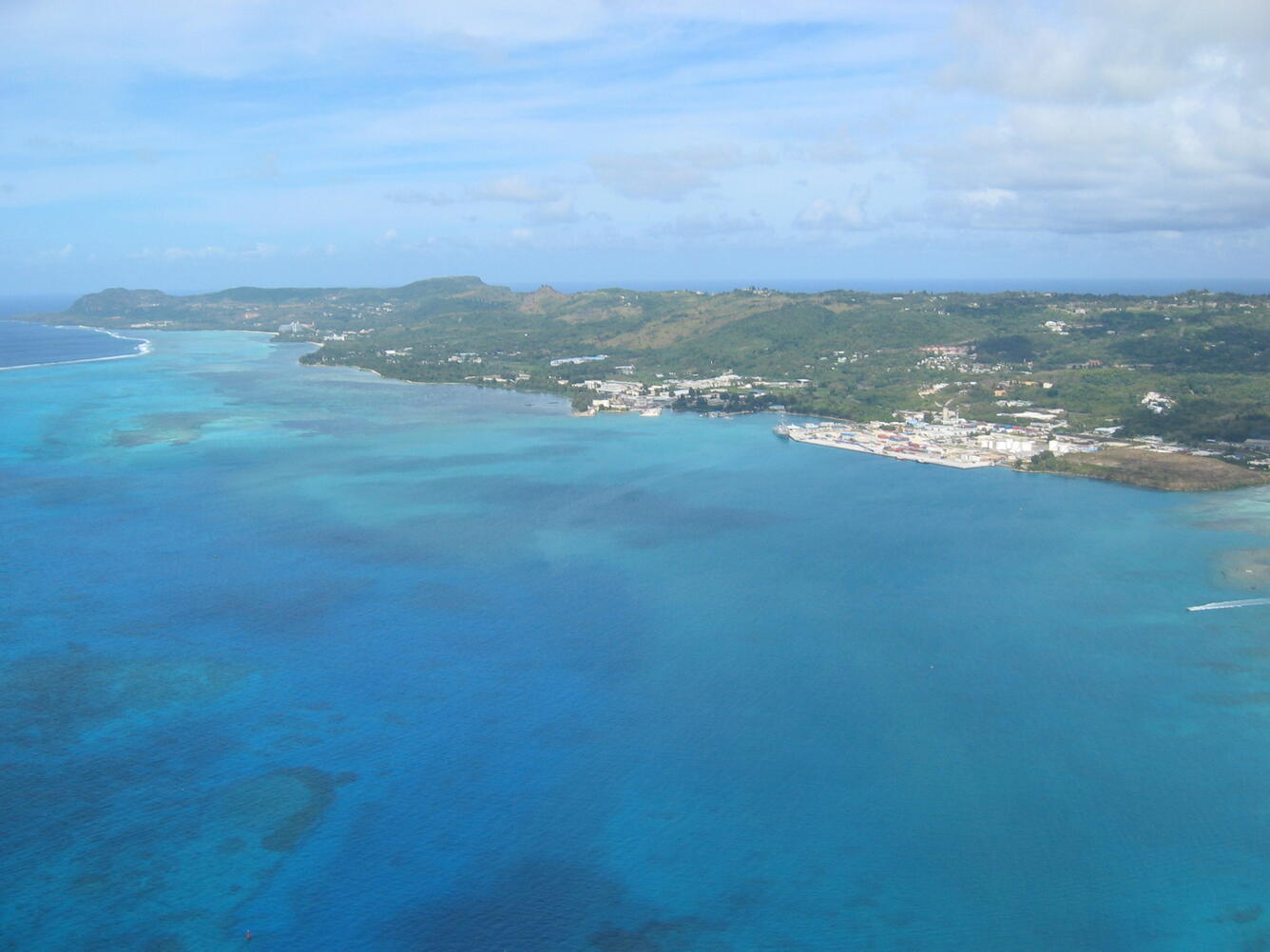
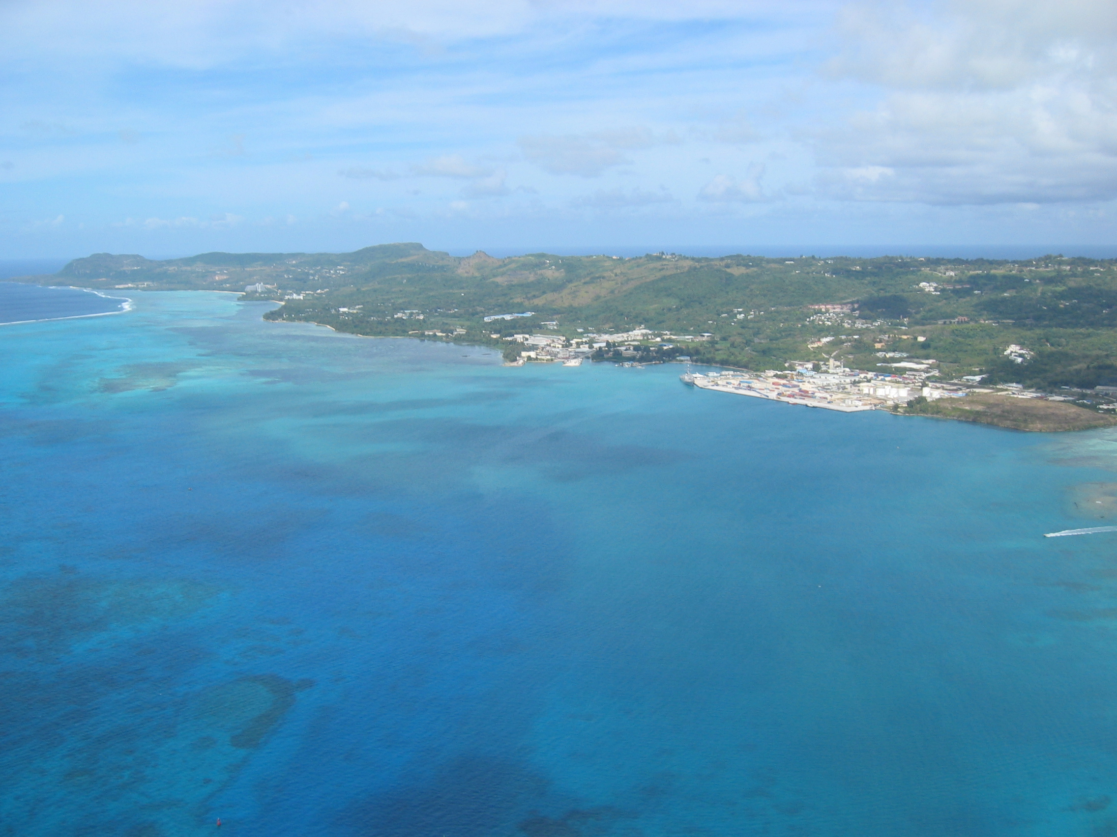
Saipan (Commonwealth of the Northern Mariana Islands) on May 8, 2006


Detailed Description
View of the west coast of Saipan, looking at the Tanapag Harbor. Puntan Sabaneta (the area of Banzai Cliff) is at the far left of this photo (north part of the island). The active, subaerial volcanic island of Anatahan is about 70 miles north of Saipan. The active seamounts of Ruby and Esmeralda Bank are within 30 miles of Saipan to the southwest and northwest.
Sources/Usage
Public Domain.