
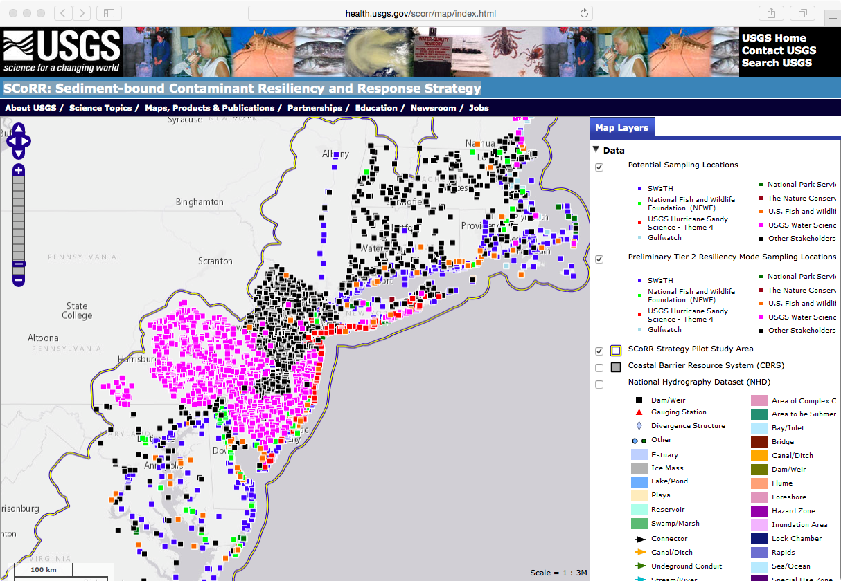
The SCoRR Mapping Web Application
Detailed Description
The Sediment-bound Contaminant Resiliency and Response (SCoRR) Mapping Application was developed to allow users to visualize and view information generated during this study. Additional datasets including Census data, the National Land Cover Database, and National Hydrography data are also provided for users to generate custom maps.