



Sediment Data for Samples Collected in 2015, 2016, and 2017 from Coast

Detailed Description
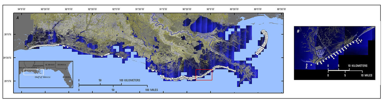
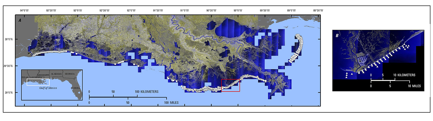
Regional map of coastal Louisiana showing (A) 2015–2016 samples (represented by white circles) and (B) 2017 sediment sample locations (represented by white triangles). Red box shows location of (B) relative to the statewide coastline. Background image is 2017 National Agriculture Imagery Program (NAIP) color-infrared aerial imagery; false-color image uses bands 4,4,2.