
Seismotectonics of the Eastern Margin of the Australia Plate

Detailed Description
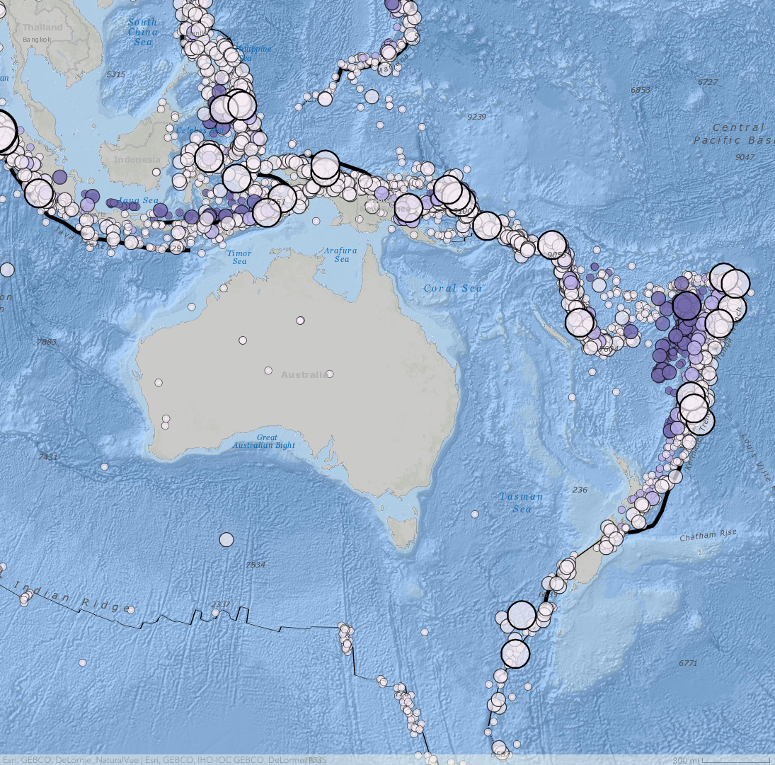
Seismotectonics of the eastern margin of the Australia plate, 1900–2021. Plate boundaries are shown as black lines, and earthquake locations are shown by circles. The size of the circle is relative to the earthquake magnitude, and the color indicated depth of the hypocenter: darker color means deeper. (from Seismotectonics of the Eastern Margin of the Australia Plate geonarrative)
Sources/Usage
Public Domain.