



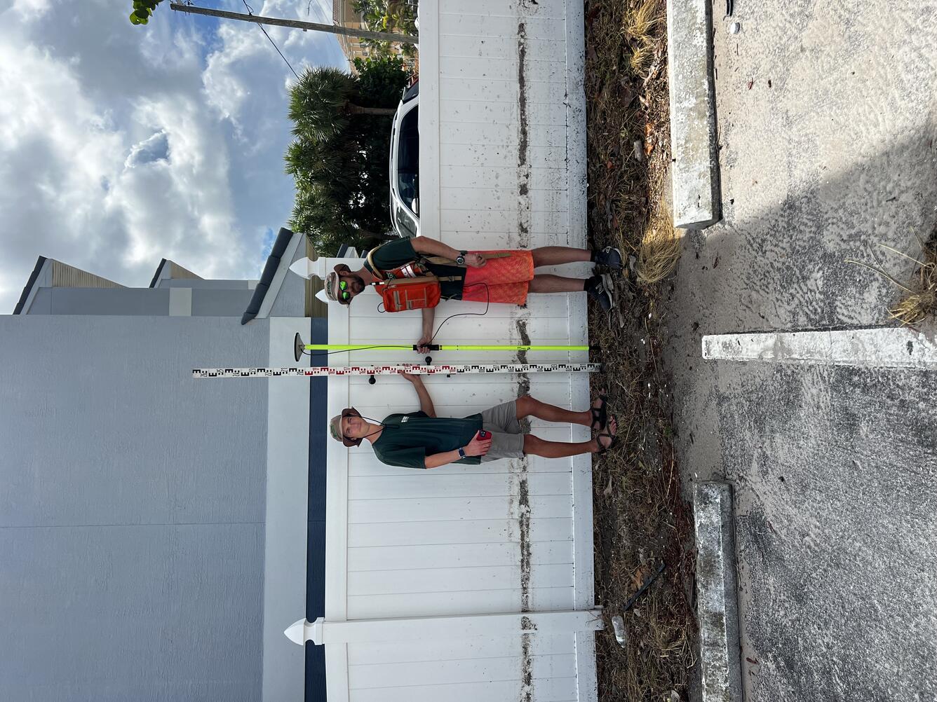
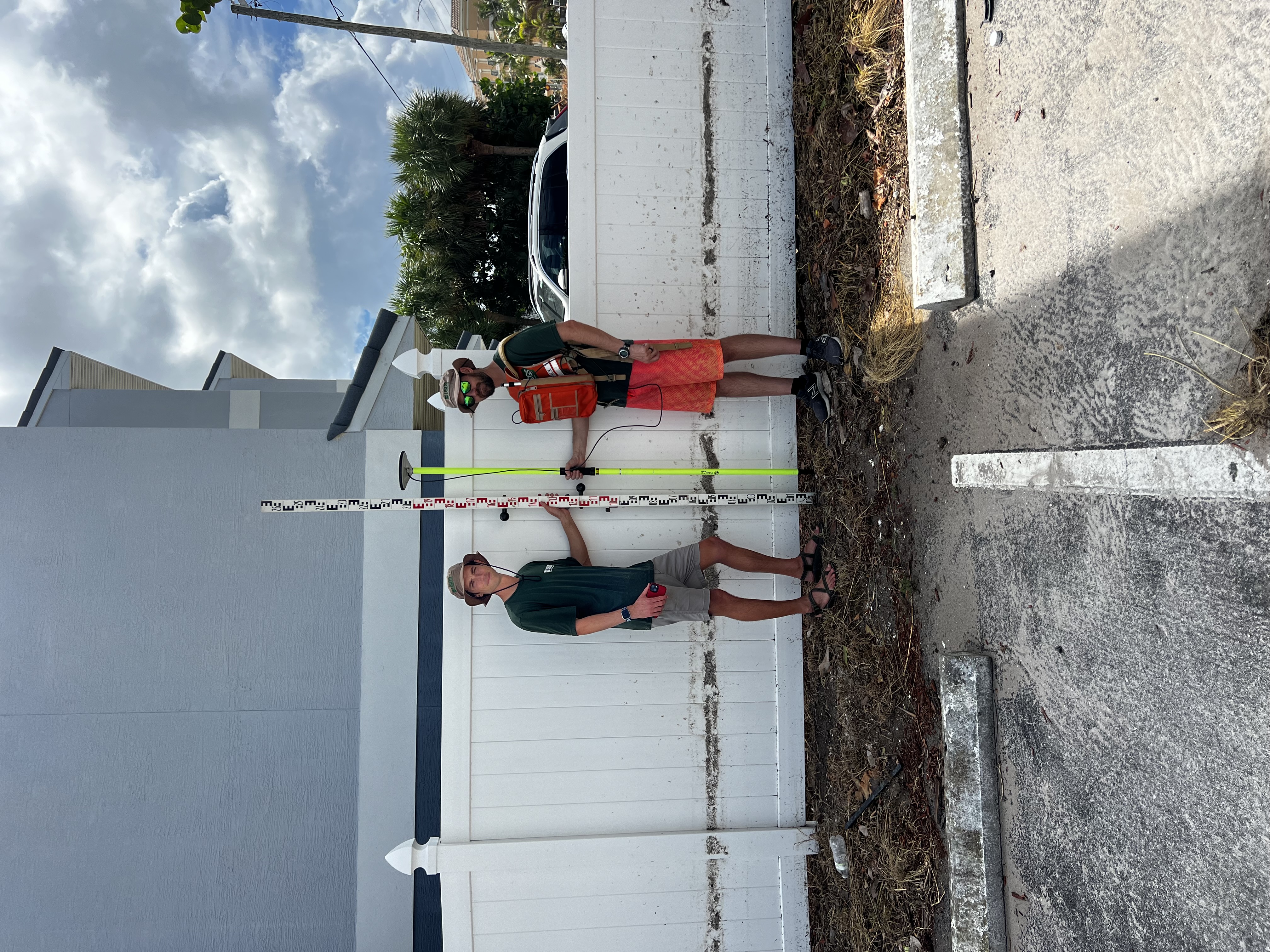
Storm surge creates waterlines on a fence that record maximum water levels.


Detailed Description
USGS Scientists Johnathan Woodruff and Justin Birchler, combine traditional and modern techniques to analyze storm surge water lines. Photos of a water level measuring stick can be used to determine height above local ground level, while a GPS unit can give the exact elevation of the water level referenced to a specific marker (like high water, mean high water, still water, sea level, etc.). The water lines are created by organic material and sediment that become mixed into the water during storm surge and stick to surfaces, preserving the vertical elevation of maximum water level the surge-water reached. Anything can potentially record the water levels, such as fences, appliance, and walls.
Sources/Usage
Public Domain.