
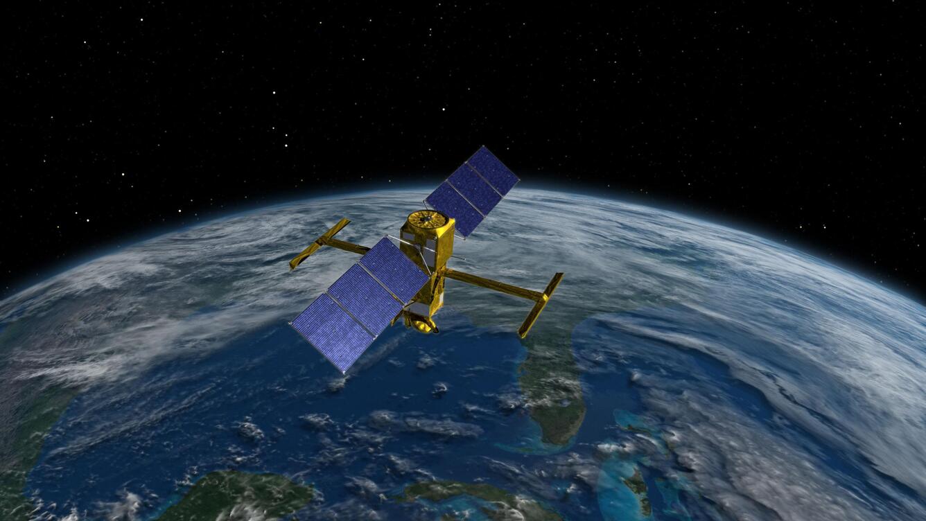
Surface Water and Ocean Topography (SWOT) satellite
By Communications and Publishing
2022 (approx.)
Detailed Description
This illustration depicts the Surface Water and Ocean Topography (SWOT) satellite, a mission led by NASA and the French space agency Centre National d'Études Spatiales. The USGS “Water Information from Space” web application, or WISP, uses the SWOT satellite to track water levels across 467,000+ lakes and 93,000 miles of rivers, finally giving isolated communities critical flood data.
Sources/Usage
Credit: NASA/JPL-Caltech