
Surficial Geology of the Glaciated Region of the US
Detailed Description
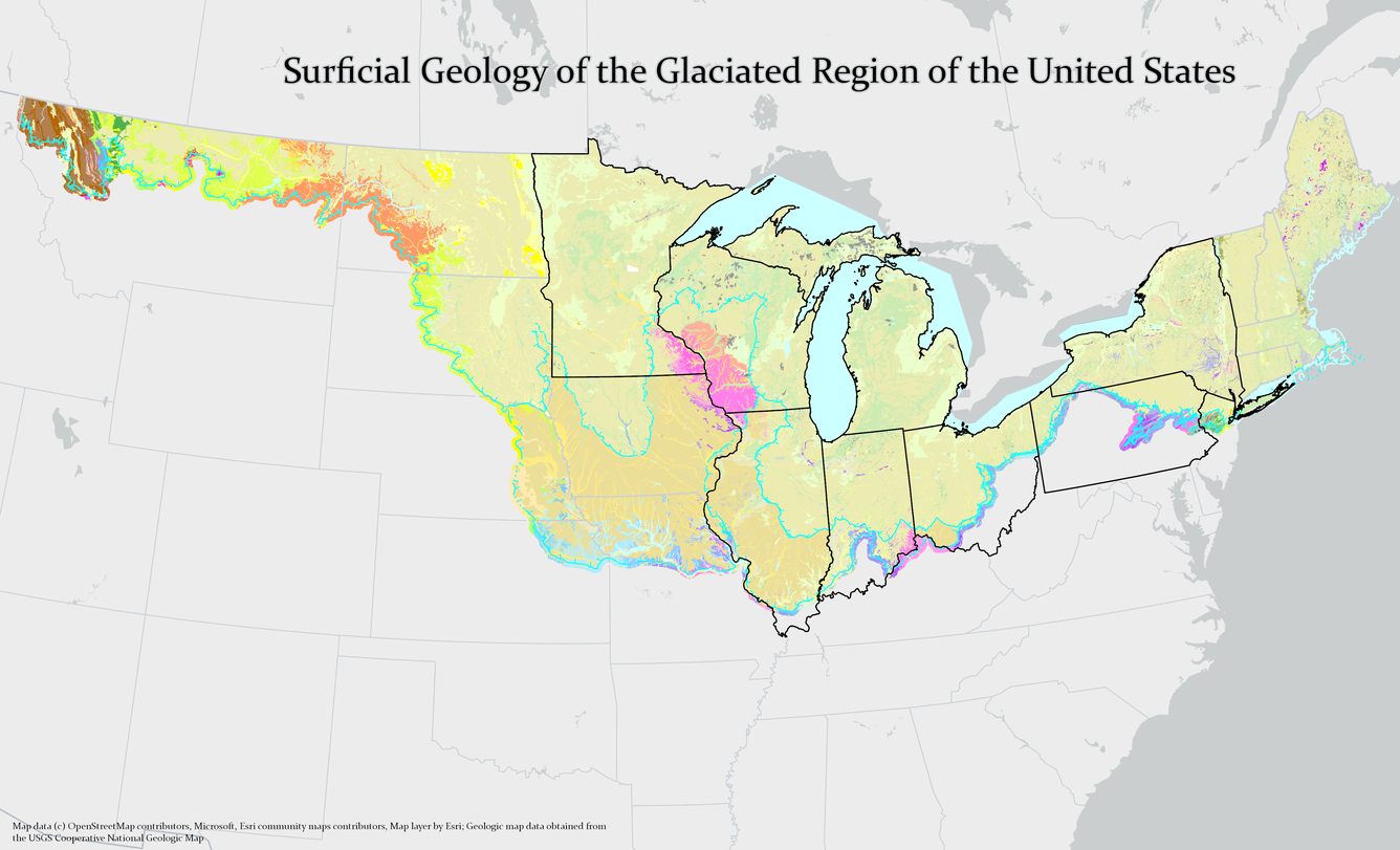
This is a partial representation of a geologic map of the Surficial geology of the glaciated region of the US. The blue dashed lines represent glacial and glaciofluvial features, roughly outlining the boundary of the glaciated region. The black outlined states represent the eight member states of the Great Lakes Geologic Mapping Coalition.
Sources/Usage
Public Domain.
Source data for this representation were obtained from the Cooperative National Geologic Map available from the National Geologic Map Database.