



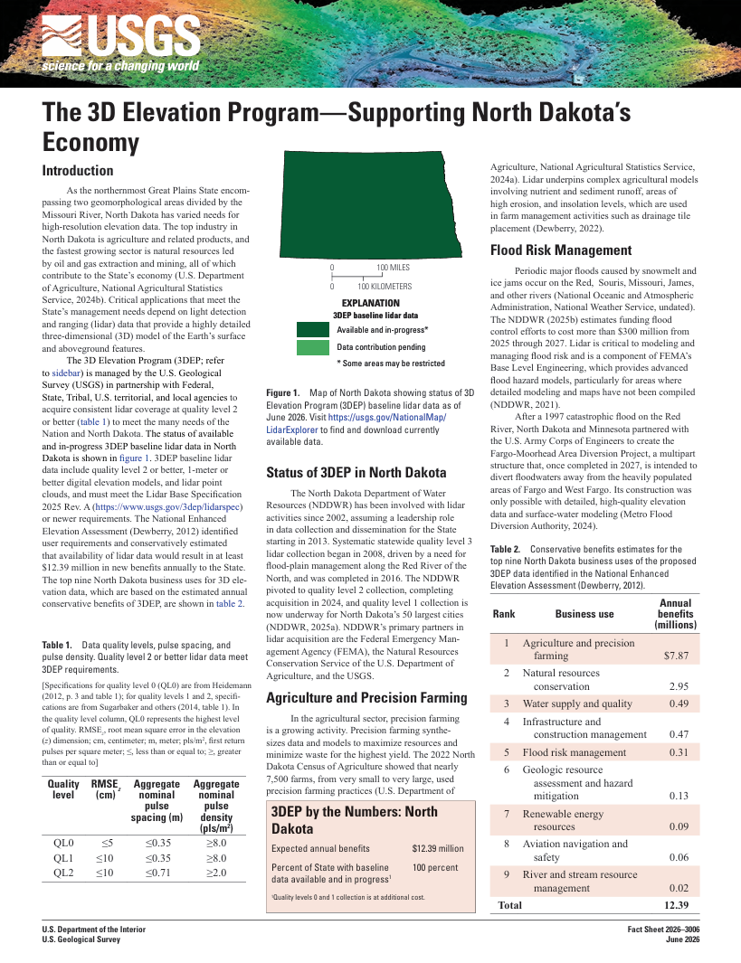
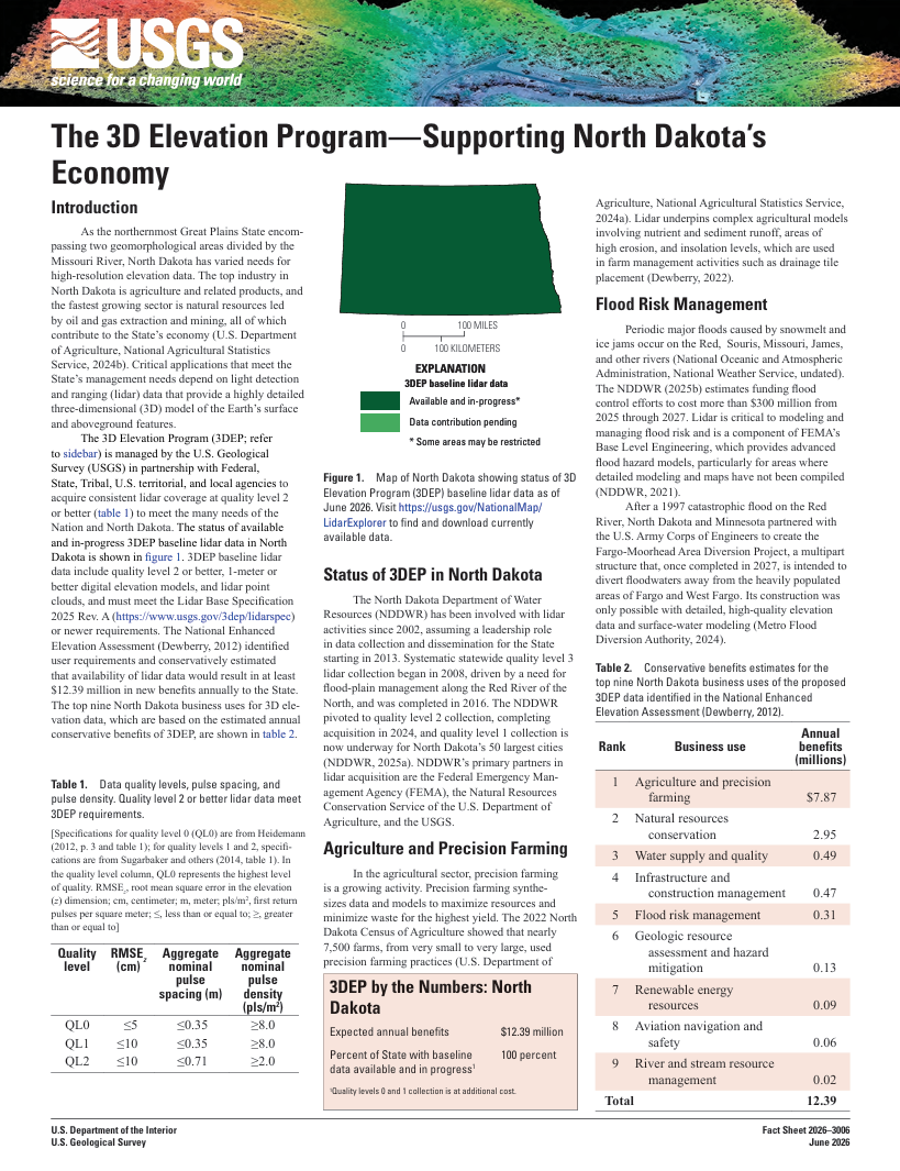
Thumbnail image of Fact Sheet 2026-3006
By National Geospatial Program
June 2026 (approx.)


Detailed Description
Image of Fact Sheet 2026-3006 "The 3D Elevation Program - Supporting North Dakota's Economy".
Sources/Usage
Public Domain.
Related
The 3D Elevation Program—Supporting North Dakota's economy The 3D Elevation Program—Supporting North Dakota's economy
Introduction As the northernmost Great Plains State encompassing two geomorphological areas divided by the Missouri River, North Dakota has varied needs for high-resolution elevation data. The top industry in North Dakota is agriculture and related products, and the fastest growing sector is natural resources led by oil and gas extraction and mining, all of which contribute to the State...
Authors
Elaine Guidero