



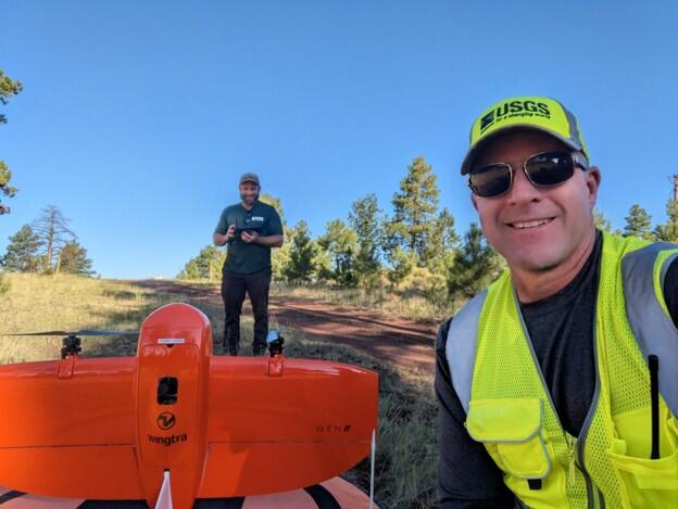
Two UAS pilots pose with a Wingtra fixed-wing UAS equipped with LiDAR scanner
By Fort Collins Science Center
June 2025 (approx.)


Detailed Description
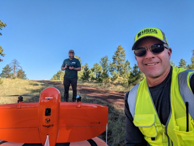
USGS pilots Chris Holmquist-Johnson and Joseph Affinati prepare for take-off with the Wingtra fixed-wing UAS equipped with a LiDAR scanner to collect remote sensing data for mapping forest health post forest thinning at Sawmill Springs in the Kaibab National Forest, Arizona. Photo credit: Chris Holmquist-Johnson.
Sources/Usage
Public Domain.