
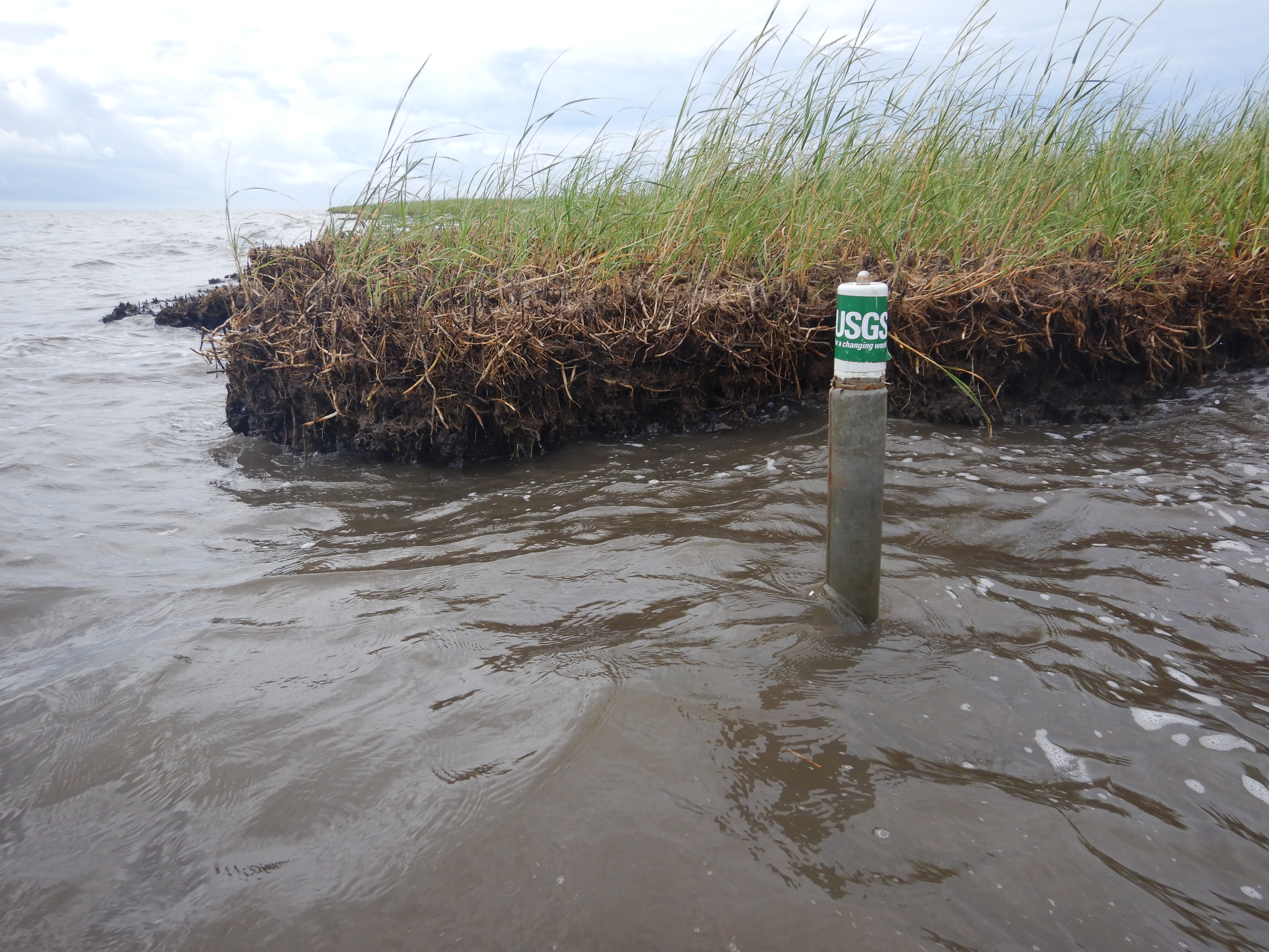
USGS well used to collect water level data
By St. Petersburg Coastal and Marine Science Center
September 2021 (approx.)

Detailed Description
USGS well, located in the Point aux Chenes estuary near the marsh edge, used to collect water level data.
Sources/Usage
Public Domain.