
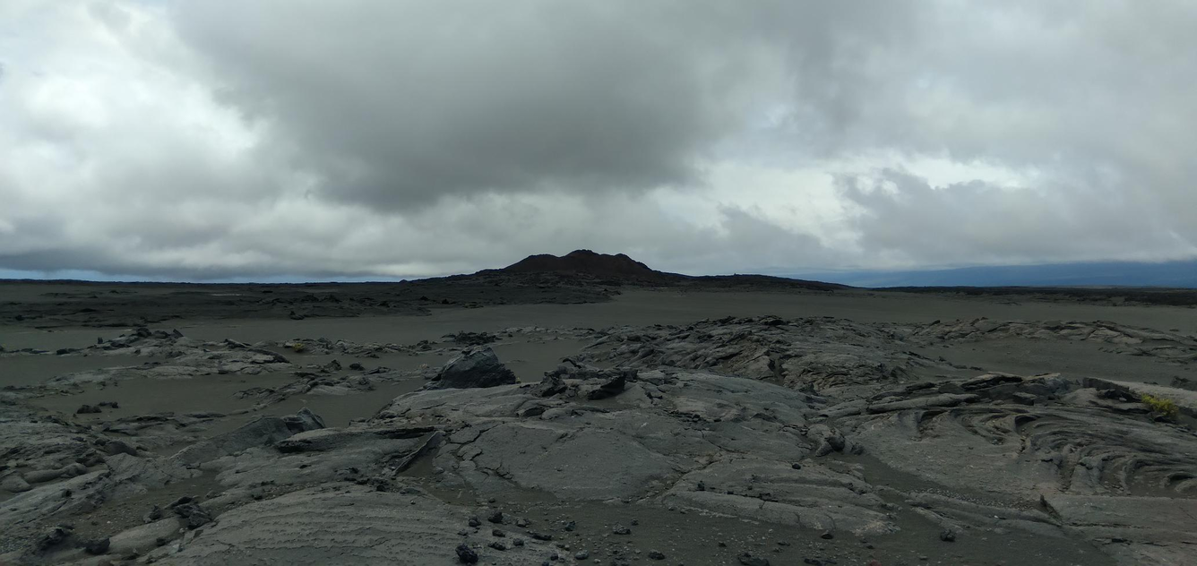
View of Pu‘ukoa‘e on Kīlauea's Southwest Rift Zone
Detailed Description
View to the southwest from HVO station HRPKE, showing Pu‘ukoa‘e on Kīlauea's Southwest Rift Zone in the background. Pu‘ukoa‘e formed during an eruption more than 200 years ago; lava flows from the December 1974 eruption of Kīlauea's Southwest Rift Zone—which are visible in the foreground—flowed southwest towards Pu‘ukoa‘e, with one lava flow from the eruption stopping at Pu‘ukoa‘e. USGS photo by P. Nadeau.
Sources/Usage
Public Domain.