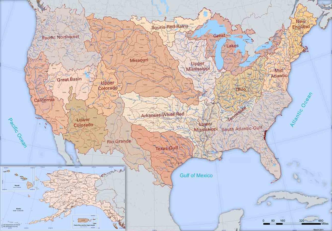
Watershed Boundary Dataset map
Detailed Description
Images show how the United States is split into different water regions based upon WBD requirements and water sources.
Sources/Usage
Public Domain.
Limited Use by USGS only

Official websites use .gov
A .gov website belongs to an official government organization in the United States.
Secure .gov websites use HTTPS
A lock () or https:// means you’ve safely connected to the .gov website. Share sensitive information only on official, secure websites.
Images show how the United States is split into different water regions based upon WBD requirements and water sources.
Public Domain.
Limited Use by USGS only