
Zion National Park
Detailed Description
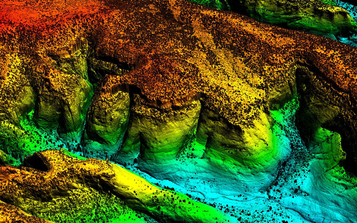
Project Description: QL1 & QL2 high resolution lidar collected over Zion National Park in Utah to assist the park in mapping geologic hazards, wildlife habitat and identification of significant cultural and natural resources. This data will be used as a baseline for longer-term monitoring of riparian tree canopy and rive channel morphology. Date unknown. Lidar acquired December 1, 2015 through July 1, 2016.
Sources/Usage
Public Domain.