Photo and Video Chronology - Kīlauea - May 21, 2012
By Kīlauea
May 21, 2012
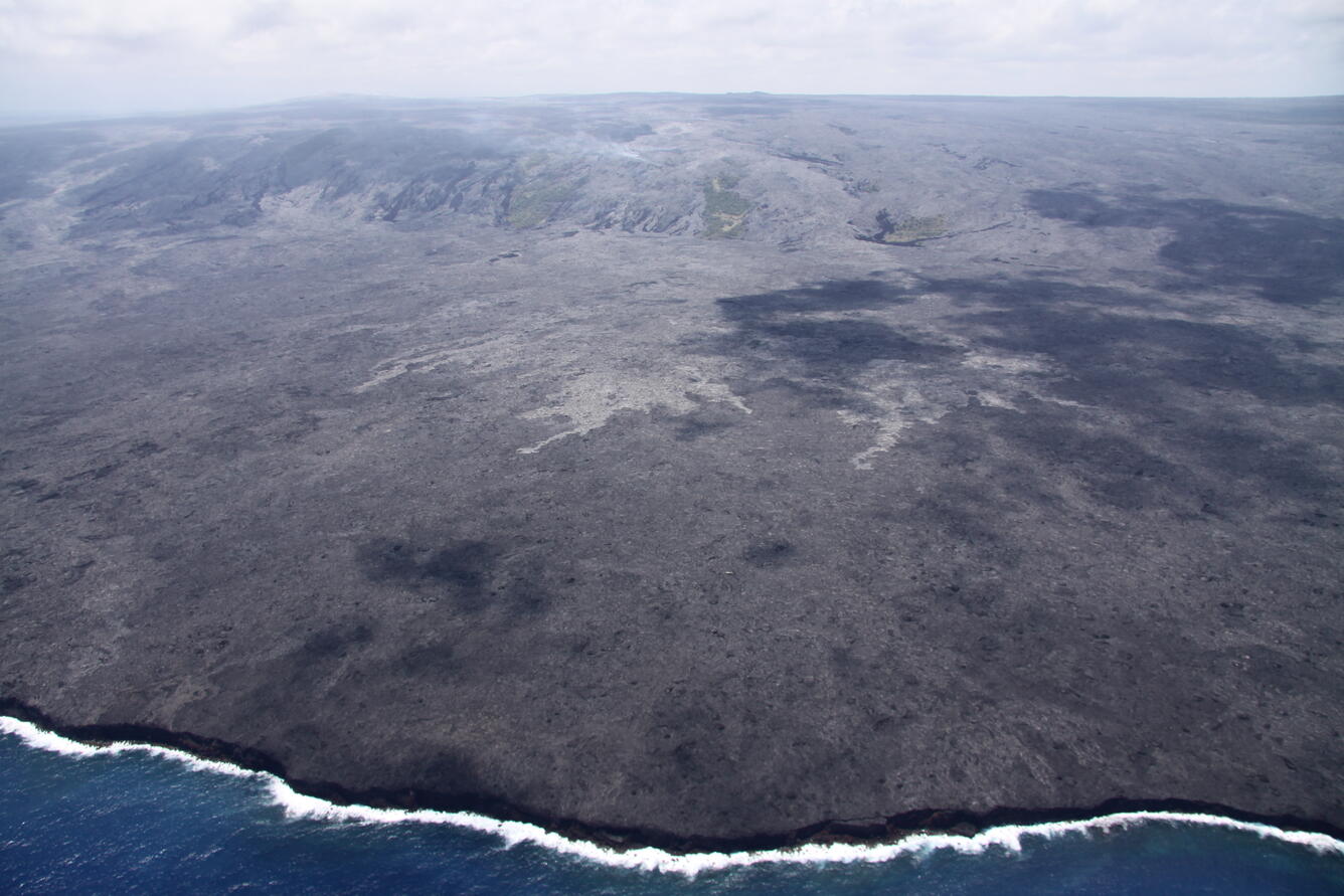
Coastal plain flows still slowly advancing towards ocean; lava pond in Pu‘u ‘Ō‘ō.

Official websites use .gov
A .gov website belongs to an official government organization in the United States.
Secure .gov websites use HTTPS
A lock () or https:// means you’ve safely connected to the .gov website. Share sensitive information only on official, secure websites.
Coastal plain flows still slowly advancing towards ocean; lava pond in Pu‘u ‘Ō‘ō.