An official website of the United States government
Here's how you know
Official websites use .gov
A .gov website belongs to an official government organization in the United States.
Secure .gov websites use HTTPS
A lock () or https:// means you’ve safely connected to the .gov website. Share sensitive information only on official, secure websites.
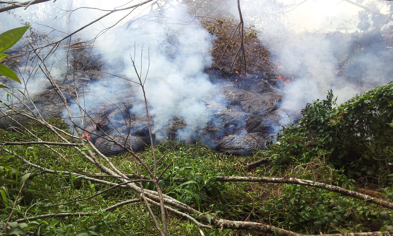
The June 27th lava flow remained active, and the flow front was nearing residential areas in the northwest portion of Pāhoa. The flow front was heading towards a low spot on the Pāhoa Village Road, between AP‘A‘ā St. and the post office. This photo was taken at 11:30 am today, when the flow front was 540 meters (0.3 miles) from Pāhoa Village Road.
A slightly closer view of the flow front. AP‘A‘ā St. is in the lower portion of the photograph, and the transfer station is in the lower right. Pāhoa Village Road is in the upper left portion of the photograph.
This annotated photograph shows the notable features around the flow front. The photo was taken at 11:30 am, and also shows the distance the flow front has traveled between Cemetery Rd./AP‘A‘ā St. and Pāhoa Village Rd.
A comparison of a normal photograph with a thermal image. The white box shows the approximate extent of the thermal image. The elevated temperatures (white and yellow areas) around the flow front indicate that significant activity is focused at the front, driving its forward movement. In addition, a slow-moving lobe was active upslope of Cemetery Rd. Farther upslope, scattered breakouts persist in the wider portion of the flow.
Preview image for video: This Quicktime movie, taken at 11:30am, gives an aerial overview of the flow front and its position relative to Pāhoa. The movie is fairly large in size and may take several minutes to download.